Civil Engineering Meets BIM: What You Need to Know to Get Started

In the fast-moving field of civil engineering, where precision and efficiency are crucial for success, embracing new technologies is no longer a choice—it’s a necessity. One of the most groundbreaking innovations transforming this field is the combination of Building Information Modeling (BIM) and 3D laser scanning. These tools not only improve the accuracy of project data but also save time, reduce costs, and enhance collaboration across teams.
But what does that mean for professionals in civil and structural engineering? Let’s dive into the basics of BIM, how 3D scanning fits into the picture, and why companies like ScanM2 are leading the way in bringing these technologies to life.
The Role of 3D Scanning in Civil Engineering
How Does 3D Scanning Work?
Imagine being able to capture the exact dimensions of a building or construction site down to the smallest detail without even lifting a measuring tape. That’s the magic of 3D laser scanning. Using cutting-edge equipment like Faro, Leica, and Trimble scanners, engineers can create a point cloud—a dense digital map of millions of data points representing the scanned space.
This data is then converted into precise 3D models that engineers can adjust and analyze. Whether it’s a bridge, road, or complex building structure, these models provide a precise foundation for planning, design, and execution.
Why is 3D Scanning Better Than Traditional Methods?
If you’ve ever been frustrated by the inefficiency of manual measurements or the guesswork involved in outdated surveying techniques, you’ll understand why 3D scanning is such a game-changer:
- Speed: What once took days can now be done in hours.
- Accuracy: Laser scanning eliminates human error, providing millimeter-perfect results.
- Visualization: 3D models allow teams to “see” the project in ways that paper plans simply can’t match.
This level of precision not only improves decision-making but also reduces the risk of costly errors later in the project.
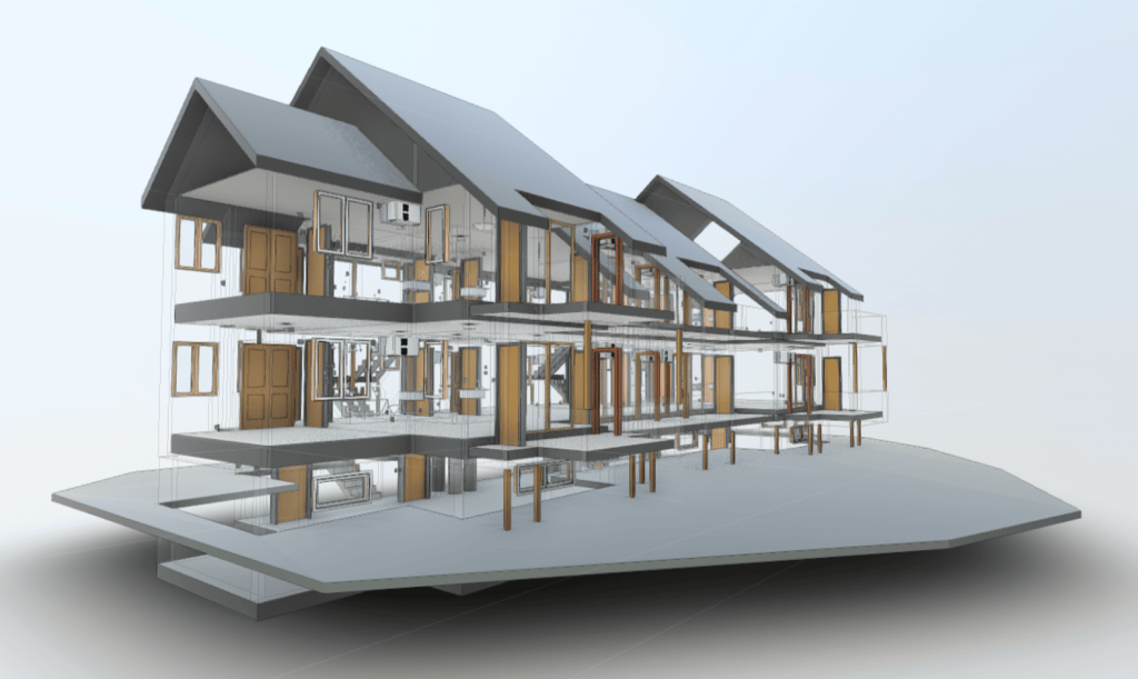
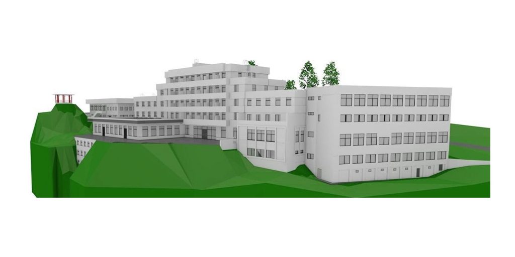
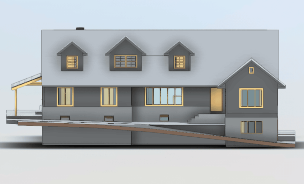
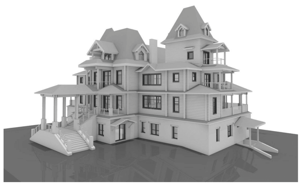
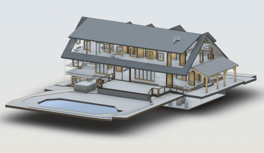
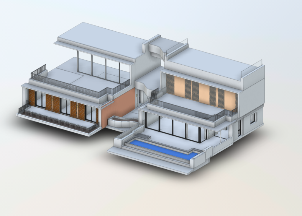
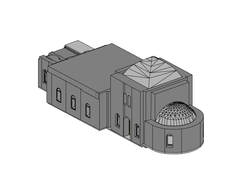
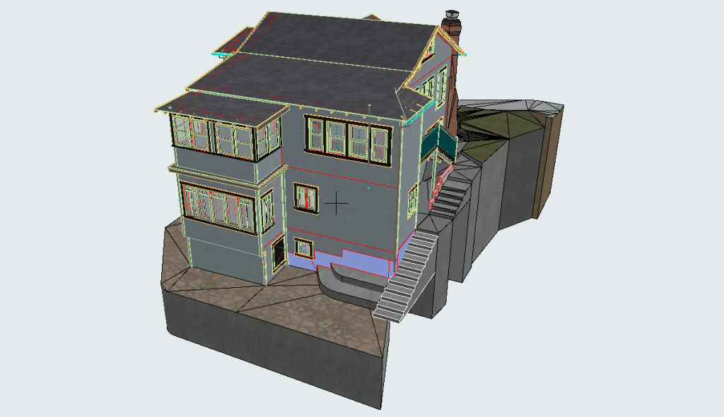
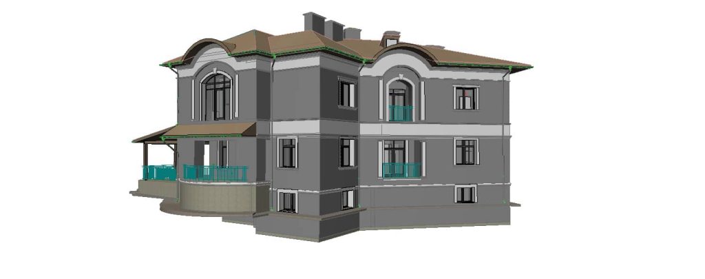
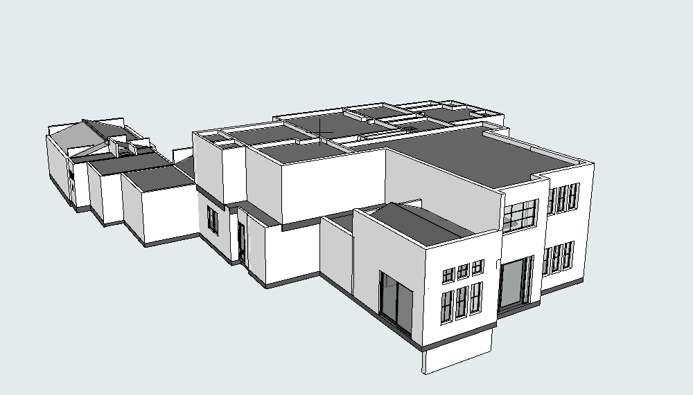
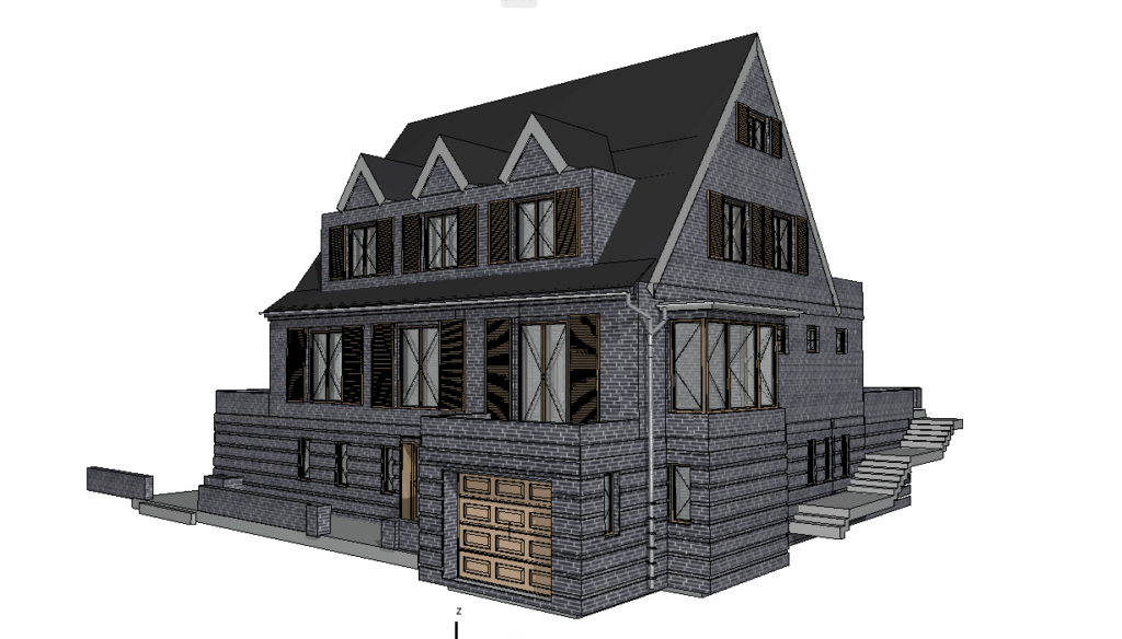
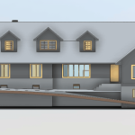
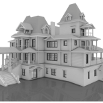
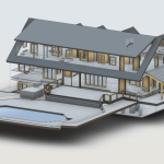
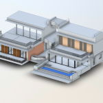
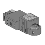
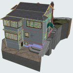
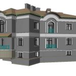
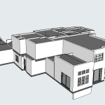
Our BIM Models Examples
What is BIM and Why Does It Matter?
BIM in Civil Engineering
At its essence, Building Information Modeling (BIM) involves creating a unified, shared digital representation of a project. It’s like having a virtual blueprint that all stakeholders—engineers, designers, contractors—can access and update in real time.
In civil engineering, BIM is particularly valuable because infrastructure projects often involve complex systems that need to work together seamlessly. By using BIM, teams can:
- Collaborate more effectively, reducing misunderstandings and rework.
- Streamline workflows, making the design and construction process smoother.
- Plan for the entire lifecycle of a structure, from construction to maintenance.
How 3D Scanning Enhances BIM
Here’s where the magic happens: 3D scanning ensures that the data feeding into a BIM model is as accurate as possible. Without precise measurements, even the best BIM tools can fall short. By integrating 3D scanning into BIM workflows, engineers can:
- Start projects with a solid foundation of accurate data.
- Detect potential issues early, before they escalate into costly problems.
- Create designs that are grounded in reality, not just theory.
Saving Time and Resources with Modern Technology
Civil engineering is no stranger to challenges—tight schedules, budget constraints, and
unexpected issues can derail even the best-laid plans. But this is where BIM and 3D scanning shine, offering practical solutions to common problems.
Time Savings
Think about all the time wasted on repeated site visits or correcting errors from inaccurate measurements. With laser scanning, you can capture all the data you need in one go, drastically reducing the time spent in the field.
Resource Optimization
By starting with precise data, teams can avoid the pitfalls of rework and miscalculations. Materials are sourced more efficiently, labor is managed more effectively, and projects remain on schedule.
Real-World Impact
For example, clients working with ScanM2 have reported project timelines shrinking by up to 30%. With tools like Faro and Trimble, they’ve been able to deliver results faster, all while maintaining impeccable accuracy. This kind of efficiency isn’t just good for the bottom line—it’s a game-changer for everyone involved.
Why Choose ScanM2?
There are plenty of companies offering 3D scanning and BIM services, so what makes ScanM2 stand out? It all comes down to expertise and technology.
- Top-Tier Equipment: ScanM2 uses only the best tools in the industry, including Faro, Leica, and Trimble scanners. This guarantees that every project is supported by the most accurate and dependable data available.
- Proven Expertise: From large-scale infrastructure projects to smaller, specialized tasks, ScanM2 has the expertise and experience to tackle any challenge. Their team understands the unique needs of civil engineers and works tirelessly to provide solutions that fit.
- Client Success Stories: From bridges to commercial developments, ScanM2 has consistently delivered results that exceed expectations. Their attention to detail and commitment to quality have made them a trusted partner for engineers across the United States.
Shaping the Future of Civil Engineering
The combination of 3D scanning and BIM is more than just a technological advancement—it’s a revolution in how civil engineering projects are planned, designed, and executed. By integrating precise laser scans with collaborative digital models, professionals can achieve outcomes that were once thought impossible.
If you’re prepared to elevate your projects, it’s time to discover how ScanM2 can assist you.With their expertise and state-of-the-art technology, they’re transforming ideas into reality with efficiency, accuracy, and innovation.


