InterGeo 2024 in Stuttgart: Insights from ScanM2’s Leadership
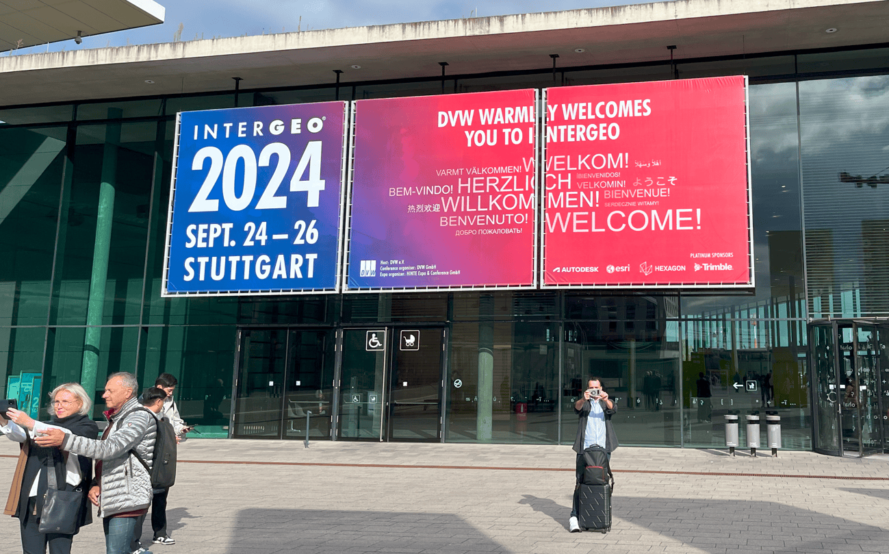
InterGeo has always been a premier event for exchanging cutting-edge ideas and technologies in the fields of geodesy, cartography, and data processing. This year, the conference took place in Stuttgart, attracting thousands of professionals and industry experts.
Our leader, Yauheni Ramanchuk, actively participated in the event and has prepared a detailed overview of the key trends and innovations showcased at InterGeo 2024. On this page, you can explore his insights and discover the technologies and solutions that are shaping the future of our industry.
Dear colleagues,
I am pleased to share my impressions and the outcomes of participating in one of the key events in our industry — InterGeo 2024, which took place in Stuttgart. This event once again confirmed its status as the leading platform for exchanging cutting-edge ideas, new solutions, and technologies in the field of geodesy, cartography, and data processing.
The exhibition featured a huge number of participants and visitors, underscoring the ongoing interest in new technologies and market trends. Among the showcased solutions, those that once seemed futuristic, but have now become part of everyday practice, stood out the most: Scan2BIM, Scan2CAD, mobile LiDAR systems, and more. These technologies play a crucial role in transforming measurement work, taking the industry to a new level of precision and efficiency.

Key Trends of InterGeo 2024:
Machine learning and point cloud processing
One of the most notable trends was the use of machine learning algorithms to automate and improve the accuracy of point cloud data processing, obtained from LiDAR and photogrammetric systems. These technologies significantly speed up the process of converting data into CAD and BIM models.
Technology integration
A critical topic was the integration of LiDAR systems with photogrammetry and GPS positioning into single devices. This approach greatly increases the accuracy of data, which is especially important for complex measurement tasks.
New software products
Advanced viewers and solutions were presented, enabling the integration of point clouds with CAD programs and allowing users to edit the data. This represents a step forward in the unification of various data types and enhances user convenience.
Increased data processing efficiency
Systems for processing data from satellites and mobile scanning platforms demonstrated impressive results, allowing more efficient use of the collected data for creating highly accurate terrain models.
Main Goals and Objectives
- Attracting youth to the industry. One of the key objectives of the event was to involve young specialists and students in our rapidly developing industry. This is vital for the future of the field, as young minds bring fresh ideas and innovations.
- Improving efficiency and sustainability. The issues of resource conservation and the efficient use of building materials were central to the discussions. The technologies showcased at InterGeo 2024 aim to improve environmental sustainability and optimize processes in construction and related fields.
- Accelerating data processing. Increasing the speed and accuracy of data processing is one of the most important challenges being addressed by new software products and solutions. This allows for a significant reduction in the time between data acquisition and practical application.
Conclusion
InterGeo 2024 left a very strong impression. The solutions and technologies presented demonstrated that our industry continues to evolve rapidly, and reality has already exceeded many expectations. The event attracted a huge number of participants, providing the opportunity to exchange experiences, gain inspiration from new ideas, and define the vectors for further development.
We are on the verge of significant changes, and it is important that we are already beginning to apply the technologies of the future to reach new heights in geodesy and surveying.
Sincerely, Yauheni Ramanchuk
Head of ScanM2