LiDAR Scanning for Resort Planning: Precision Mapping with SCANM2
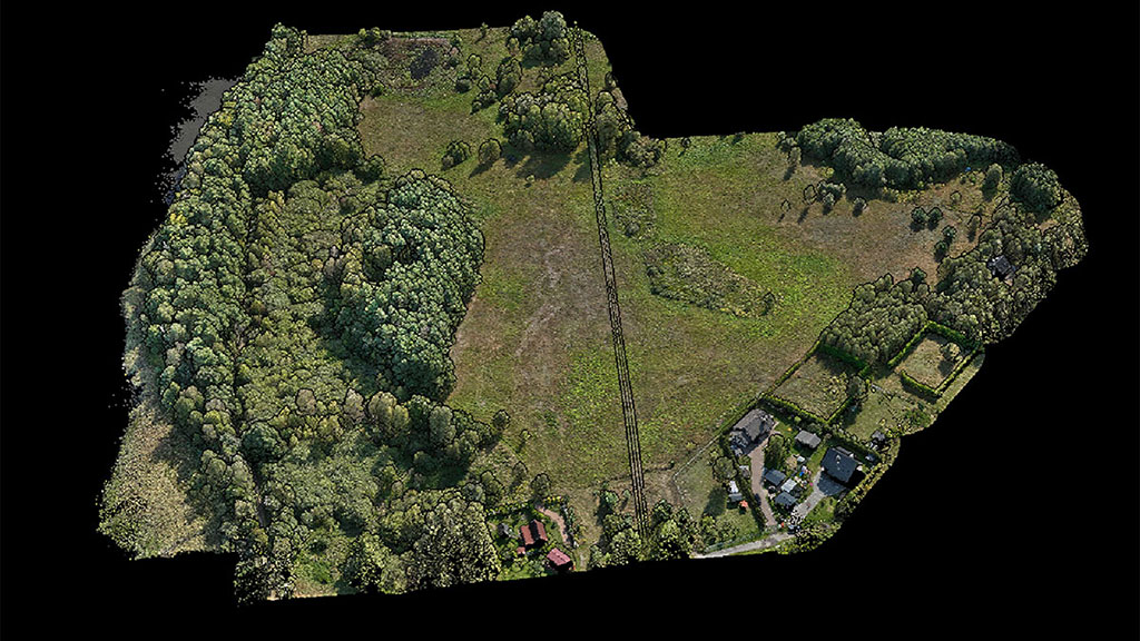
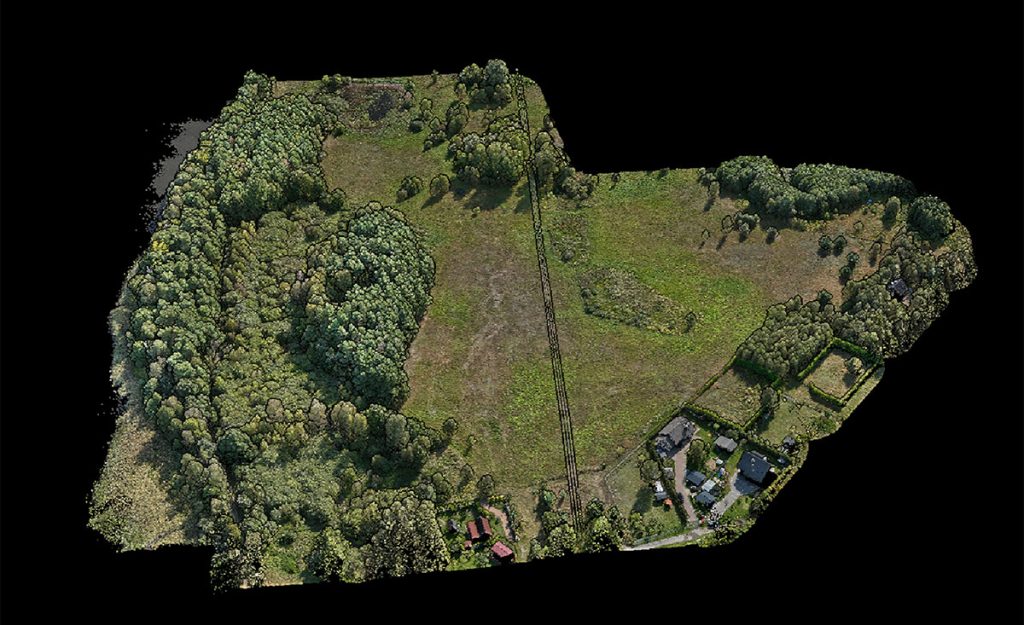
Developing a resort on a large piece of land is a meticulous task that relies on highly accurate landscape data. For our client, SCANM2 conducted an extensive LiDAR scanning project across a 100-hectare area, using drone-mounted LiDAR technology to deliver precise mapping data. This LiDAR landscape scanning approach not only saved time and cost but also provided the level of detail essential for optimal layout planning.
In this project, the goal was to assist in the correct placement of holiday cabins based on several key factors: elevation variations, tree thickness and density, and the proximity of natural features such as a lake and nearby roads. This detailed landscape data would ensure the resort’s structures harmonize with the natural environment and meet regulatory standards.
Why Choose LiDAR Scanning for Large-Scale Landscape Analysis?
For clients who need precise terrain analysis but are wary of high costs, SCANM2 offers a solution that is both affordable and detailed. LiDAR scanning services use laser pulses from drones to map large areas quickly, capturing millions of data points to form a precise topographical model. Unlike traditional manual scanning methods that are time-consuming and costly, SCANM2’s drone-based approach reduces labor hours and offers detailed results at a lower price.
This project highlights how LiDAR drone scanning can support complex site planning by:
- Reducing environmental impact with minimal land disruption.
- Offering detailed analysis for elevation and density mapping.
- Providing reliable data that aids in environmentally friendly design decisions.
Our LiDAR Scanning Results
Project Details: LiDAR Drone Scanning for a 100-Hectare Resort Site
Our team’s mission was to capture detailed topographic and environmental data across the proposed resort area to inform the ideal placement of small holiday cabins. Here’s a closer look at the project specifics:
- Scanning Area: 247 acres
- Technology Used: Drone-mounted LiDAR mapping
- Project Timeline: 1.5 days for scanning; 14 days for data processing
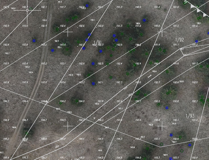
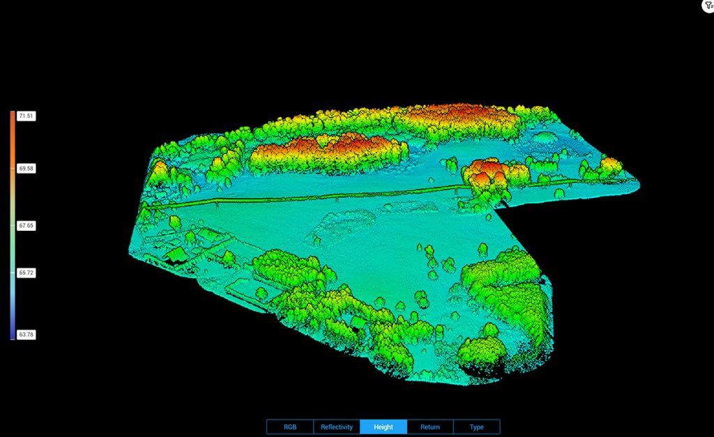
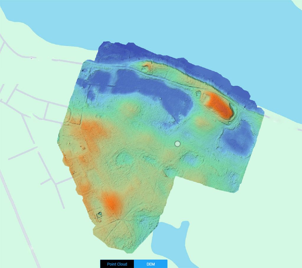
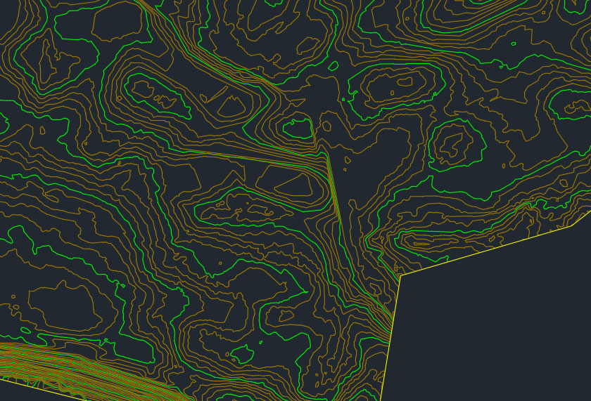
- Deliverables: Comprehensive 3D models and 2D drawings detailing the terrain, tree density, and essential topographical features.
Data and Deliverables: What We Provided the Client
Upon completion, the client received a series of high-detail deliverables designed to support various stages of resort development:
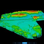
- 3D Model for ArchiCAD: A complete 3D model compatible with architectural design software. This model included precise terrain levels, enabling architects to incorporate natural slopes into cabin and pathway designs seamlessly.
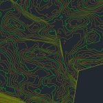
- 2D Documentation: A suite of detailed 2D drawings, including:
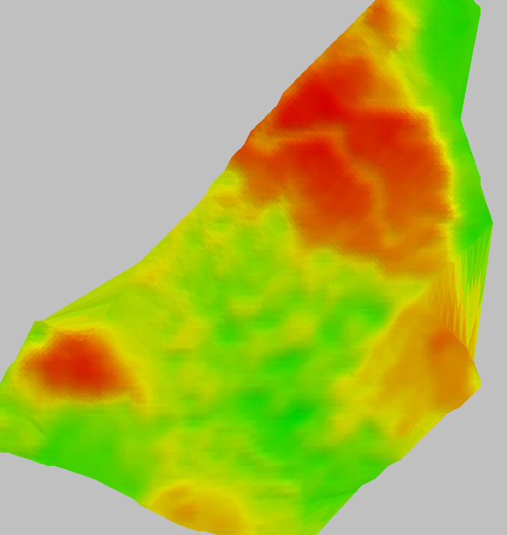
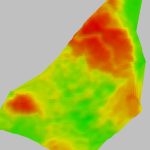
- Elevation Map: Highlighting differences in height across the site, essential for understanding slope and drainage.
- Tree Density and Thickness Analysis: Enabling strategic cabin placement while preserving natural tree cover.
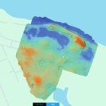
- Landscape Proximity Analysis: Showing the exact distances from the lake and roads, facilitating a balanced approach to accessibility and scenic views.
- Comprehensive Terrain Analysis: This analysis incorporated all the data in an accessible format, allowing the client to make data-driven decisions on cabin placement and infrastructure.
Cost-Effective and Precise: The Advantages of SCANM2’s LiDAR Landscape Scanning
One of the most common misconceptions is that LiDAR scanning is a prohibitively expensive service. However, SCANM2’s innovative LiDAR scanning services aim to debunk this myth by providing accurate and affordable landscape mapping. Our drone-mounted LiDAR systems require fewer labor hours than traditional manual scanning techniques, and our technology can cover vast areas quickly.
Key Benefits of SCANM2’s LiDAR Drone Scanning for Resorts:
- Lower Project Costs: By eliminating much of the manual labor required in traditional surveying, drone-based LiDAR scanning is more budget-friendly.
- Unmatched Precision: Drones capture millions of data points from above, providing a comprehensive view of the landscape down to the smallest details.
- Time Efficiency: Drone-based scanning reduces data collection to just a few days, compared to weeks with traditional methods.
- Environmentally Friendly: Unlike manual surveying, LiDAR drones have minimal environmental impact, which is particularly valuable in sensitive or protected areas.
Application of LiDAR Data in Resort Development
For this project, LiDAR mapping played a crucial role in supporting sustainable and well-planned development. The data allowed the client to avoid areas with high elevation changes, which would complicate construction and potentially disrupt the natural flow of water across the landscape. By analyzing tree density and thickness, our LiDAR data helped preserve the natural look of the resort while optimizing cabin positioning for privacy and shade.
Detailed Applications of the Data Provided:
- Elevation Management: With a precise slope analysis, architects can prevent erosion and manage natural water flow efficiently.
- Vegetation Integration: Knowledge of tree size and spacing supports eco-friendly designs that incorporate existing vegetation.
- Enhanced Accessibility Planning: Accurate distance measurements to nearby roads and lakes ensure easy guest access and maximize scenic opportunities.
Our Process: How We Conducted the LiDAR Scanning Project
SCANM2 follows a streamlined yet highly detailed process to conduct LiDAR scanning for large-scale landscape projects. Here’s how we approach each phase:
- Initial Site Assessment: We conducted a thorough evaluation of the landscape, identifying specific areas of interest such as elevated sections, dense tree coverage, and proximity to water sources.
- LiDAR Drone Deployment: Our team used state-of-the-art drones to scan the area from various heights and angles, gathering millions of data points over the course of just 1.5 days.
- Data Processing: The raw data was meticulously processed over 14 working days to produce highly accurate 3D models and 2D maps.
- Deliverable Compilation: We compiled all relevant data, including 3D and 2D models, into a comprehensive report to assist the client in the design and development phase.
Dispelling the Myth of High LiDAR Costs
While it’s true that traditional laser scanning has been costly in the past, SCANM2’s approach using drones has made LiDAR scanning services more accessible. By reducing manual labor and increasing scanning efficiency, we are able to provide high-quality data at a lower price than competitors who rely on older, manual methods.
SCANM2 is committed to making LiDAR landscape scanning a cost-effective choice for clients who need precision without the high price tag.
Why Work with SCANM2 for Your LiDAR Scanning Needs?
Our expertise in LiDAR scanning and 3D modeling positions SCANM2 as a leader in landscape analysis for construction and resort planning. With affordable, highly detailed data that’s easy to integrate into architectural design software, SCANM2 helps clients make the most of their land while reducing costs and environmental impact.
Get in Touch for Affordable and Detailed LiDAR Scanning
For resort planners, architects, and developers, precise landscape data is invaluable for making informed decisions. SCANM2’s LiDAR drone mapping offers unparalleled accuracy in a cost-effective package. Reach out today to learn how SCANM2 can support your next large-scale project with LiDAR scanning services that prioritize both budget and quality.

