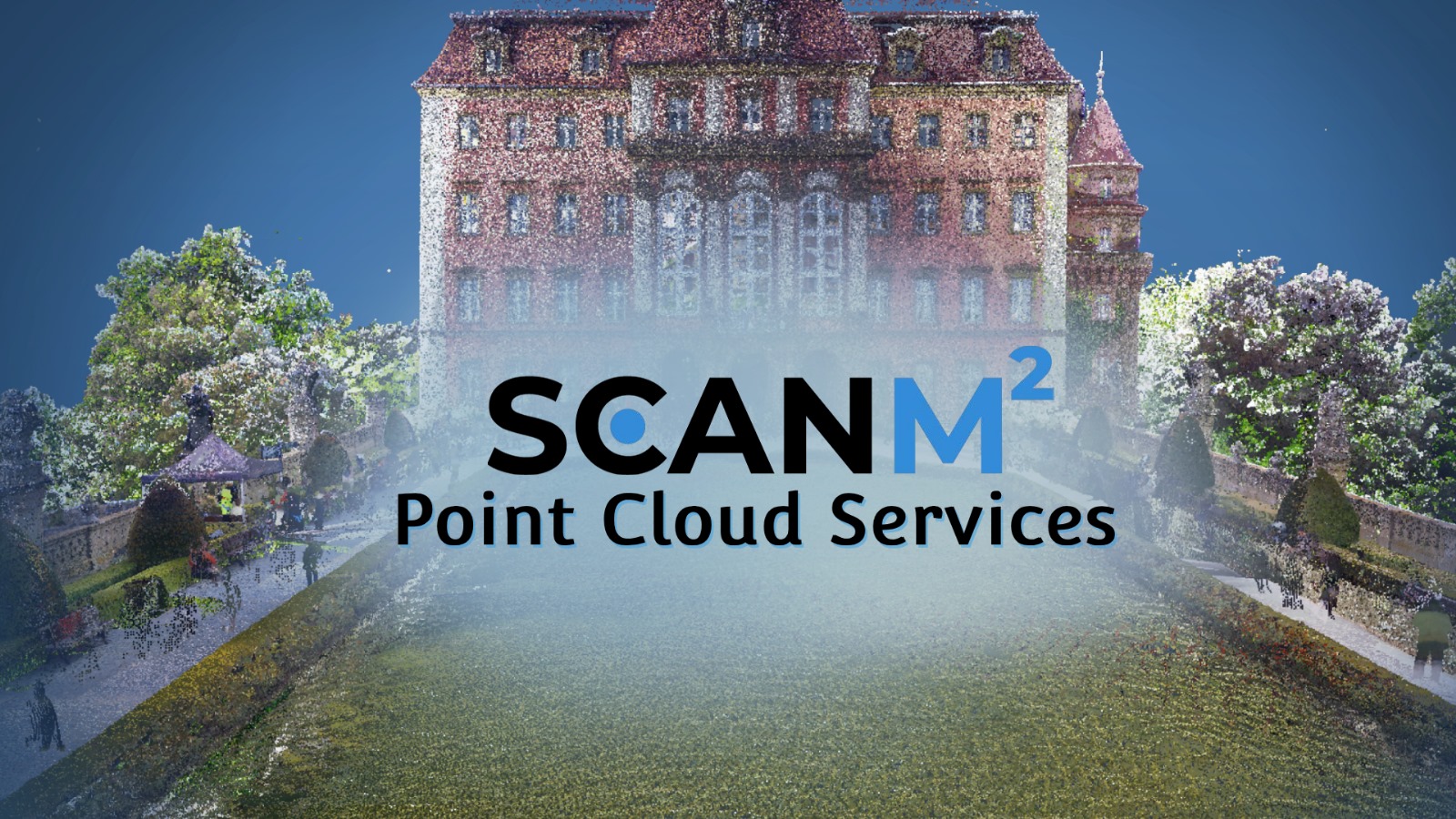
Point Cloud Services – Scanning, Modeling & 3D Conversion
At ScanM2, we specialize in point cloud services, delivering precise point cloud scanning, modeling, and data processing for projects of any scale. Using advanced 3D laser scanning technology, we transform raw point cloud data into accurate 3D models, CAD drawings, and BIM-ready files.
Whether you need point cloud surveys, laser point cloud scanning, or point cloud to 3D model conversion, our services support architects, contractors, and engineers with reliable, detailed, and cost-effective solutions.
Contact Us Now for a Free Consultation!
What Is Point Cloud Scanning and Modeling?
Point cloud scanning is the process of collecting millions of measurement points from real-world objects or buildings using 3D laser scanners. These points form a point cloud, a highly accurate digital representation of the scanned environment.
Point cloud modeling then converts this raw data into usable outputs such as:
- 3D point cloud models for visualization and design
- Point cloud to mesh or point cloud to CAD for engineering
- Point cloud to BIM services for architecture and construction
- Registered point clouds aligned into one unified dataset
This workflow ensures precise documentation of existing conditions, reducing risks, saving costs, and improving project outcomes.

Point Cloud Surveys – Accurate Site and Building Documentation
Point cloud surveys are the foundation of precise 3D documentation. Using laser point cloud scanning, we capture millions of measurement points to create a highly accurate digital representation of existing buildings, structures, or landscapes.
Such surveys are essential for:
- Architecture & Construction – reliable data for design, renovation, or extension projects.
- Engineering – as-built condition verification and clash detection.
- Heritage & Conservation – preservation of historical sites with detailed 3D records.
- Urban Planning & Infrastructure – documentation of roads, bridges, and public facilities.
Point cloud surveys reduce human error, save time, and ensure projects are based on accurate existing conditions, improving both efficiency and cost-effectiveness.
Our Process: From Point Cloud to 3D Model
- Initial Consultation and Project Setup. We start by assessing your project needs, including the required level of detail and the purpose of the final 3D model. Afterward, we strategize the scanning process to guarantee that all necessary data is accurately captured.
- 3D Scanning. Utilizing advanced 3D laser scanners, we capture the physical space or object. This process produces a point cloud—a dense array of millions of data points that represent the scanned surface in three dimensions.
- Data Processing and Point Cloud Registration. Once the scan is complete, we process the point cloud data, aligning and merging multiple scans if necessary. This stage guarantees the point cloud’s accuracy and prepares it for modeling.
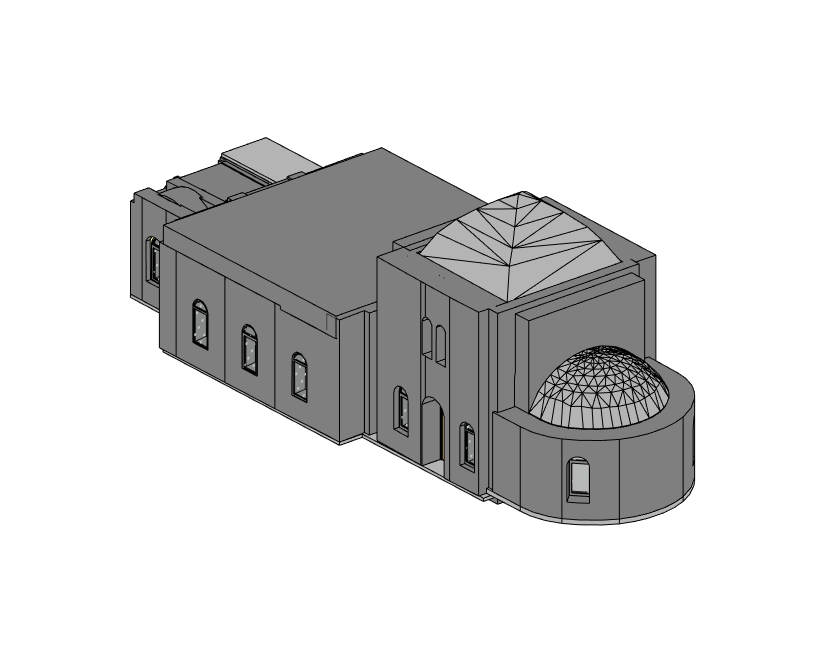
- Converting Point Cloud to 3D Model. Our experts then convert the processed point cloud into a precise 3D model using advanced software tools. We utilize industry-leading programs such as Autodesk Revit, AutoCAD, and Navisworks for this process. Based on your requirements, we can provide the model in multiple formats, such as .rvt, .dwg, .ifc, .e57, and .obj.
- Quality Assurance and Final Delivery. Each model goes through a thorough quality assurance process to confirm it meets our stringent standards and your project specifications. We then deliver the final 3D model in your preferred format, ready for integration into your applications.
examples gallery


How Much Does Point Cloud Scanning Cost?
The cost of point cloud scanning services depends on project size, complexity, and required deliverables.
| Project Type | Area / Scale | Deliverables | Price Range |
| Small projects | up to 100 m² | Raw point cloud data, basic scan | from ~$900 |
| Medium projects | 100–1,000 m² | 3D point cloud model, CAD drawings | $1,500 – $6,500 |
| Large facilities | 1,000+ m² | Point cloud to BIM, detailed documentation | from $9,000+ |
At ScanM2, pricing is always transparent and customized. We adjust costs based on the required level of detail, accessibility of the site, and output formats.
What You Get with ScanM2
- High-Quality 3D Models – accurate, detailed, and ready for integration.
- Flexible Formats – compatible with Revit, AutoCAD, ArchiCAD, IFC, OBJ, and more.
- Competitive Pricing – affordable rates for point cloud modeling services.
- Fast Delivery – efficient workflow without compromising accuracy.
Why Choose ScanM2 for Point Cloud Services?
✔ Precision – millimeter accuracy with top-tier laser scanners.
✔ Experience – years of expertise in point cloud processing and 3D modeling.
✔ Full Workflow – from raw lidar point clouds to BIM-ready deliverables.
✔ Nationwide & International Coverage – services available across the USA and Europe.
With ScanM2, you don’t just get data — you get clarity, confidence, and control over your project.
FAQ – Point Cloud Services
What is a point cloud?
A point cloud is a collection of millions of data points captured by 3D laser scanners, representing the geometry of a building, object, or space.
What software do you use for point cloud modeling?
We use Autodesk Revit, AutoCAD, ArchiCAD, SolidWorks, and specialized tools like Point Cloud Library (PCL) and Open3D.
How accurate is point cloud scanning?
Our scans achieve millimeter-level accuracy, making them suitable for construction, architecture, and engineering projects.
How to get point cloud services near me?
Simply contact us, share your project details, and we’ll provide a free consultation and cost estimate tailored to your needs.
What are point cloud surveys used for?
Point cloud surveys are widely used in architecture, construction, engineering, and heritage conservation. They provide accurate existing conditions for design, support clash detection, and help with planning renovations, extensions, or infrastructure projects.