3D Laser Scanning and BIM Services Worldwide
We deliver 3D laser scanning, Scan-to-BIM, BIM modeling, point cloud processing, and as-built documentation for projects worldwide, including the USA, Europe, and the UAE.
3D Laser Scanning, Point Cloud and BIM Services


Where Our 3D Scanning and BIM Services Are Applied


Implementation of Laser Scanning and BIM Services Benefits of Laser Scanning and BIM Technologies Our Expert Services Staff Training and Equipment Selection Scan to BIM Conversion Ongoing Support and Consultation
Welcome to our website, where we offer expert services in the implementation of advanced technologies for laser scanning of buildings and structures, such as Scan to BIM and BIM. Our team of specialists is ready to help your design, engineering, or architectural firm achieve a new level of efficiency and accuracy in design and construction.
What we offer:
Implementation of laser scanning technology: We will provide complete integration of laser scanning systems into your firm. Our experts will assist you in selecting the necessary equipment and software and train your staff in using these tools. Scan to BIM: We offer services for converting laser-scanned data into the BIM (Building Information Modeling) format. This will enable your team to work easily with accurate 3D models of buildings and structures, significantly enhancing the efficiency of design and construction processes. Staff training: Our experts will conduct training for your personnel to effectively utilize the new technologies. We will develop a customized training program tailored to your team’s needs and the type of projects you work on. Support and consultation: We guarantee ongoing support after the implementation of the technologies. Our specialists will be available for consultations and assistance in case of any questions or challenges. Benefits of implementing laser scanning and BIM technologies: High accuracy and data detail: Laser scanning allows for highly precise 3D models of buildings and structures, greatly enhancing the quality of design and construction. Efficiency and time savings: The use of BIM improves coordination between different disciplines and helps identify clashes early in the design stage. This reduces project completion time and improves overall productivity. Enhanced collaboration and communication: BIM enables the entire project team to work with a shared 3D model, exchanging data and comments. This reduces the risk of errors and simplifies communication among various stakeholders. Ease of changes and modifications: The BIM system allows for easy modifications to the project, automatically updating all related documents and models. This is particularly useful when changes occur at different stages of project implementation. Cost and schedule control: By providing more accurate estimation of work volumes and budgeting, the implementation of BIM technologies enables better cost control and adherence to project deadlines. Increased competitiveness: Implementing advanced technologies such as laser scanning and BIM helps your firm stay ahead of the competition, attracting clients with your ability to deliver more accurate, efficient, and innovative solutions. We are ready to be a reliable partner for your design, engineering, or architectural firm and help you successfully implement laser scanning and BIM technologies. Contact us today to discuss your needs and initiate collaboration.
3D Laser Scanning and BIM Services in the UAE

About ScanM2
Our team helps clients obtain accurate existing-condition data for design, renovation, reconstruction, engineering coordination, and digital asset documentation.
Why Clients Choose ScanM2
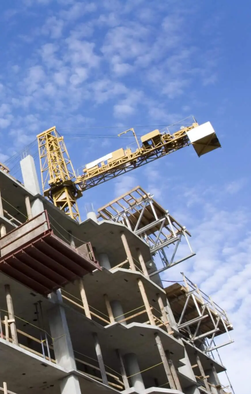
3D laser scanning provides accurate site data for faster, more efficient construction project management
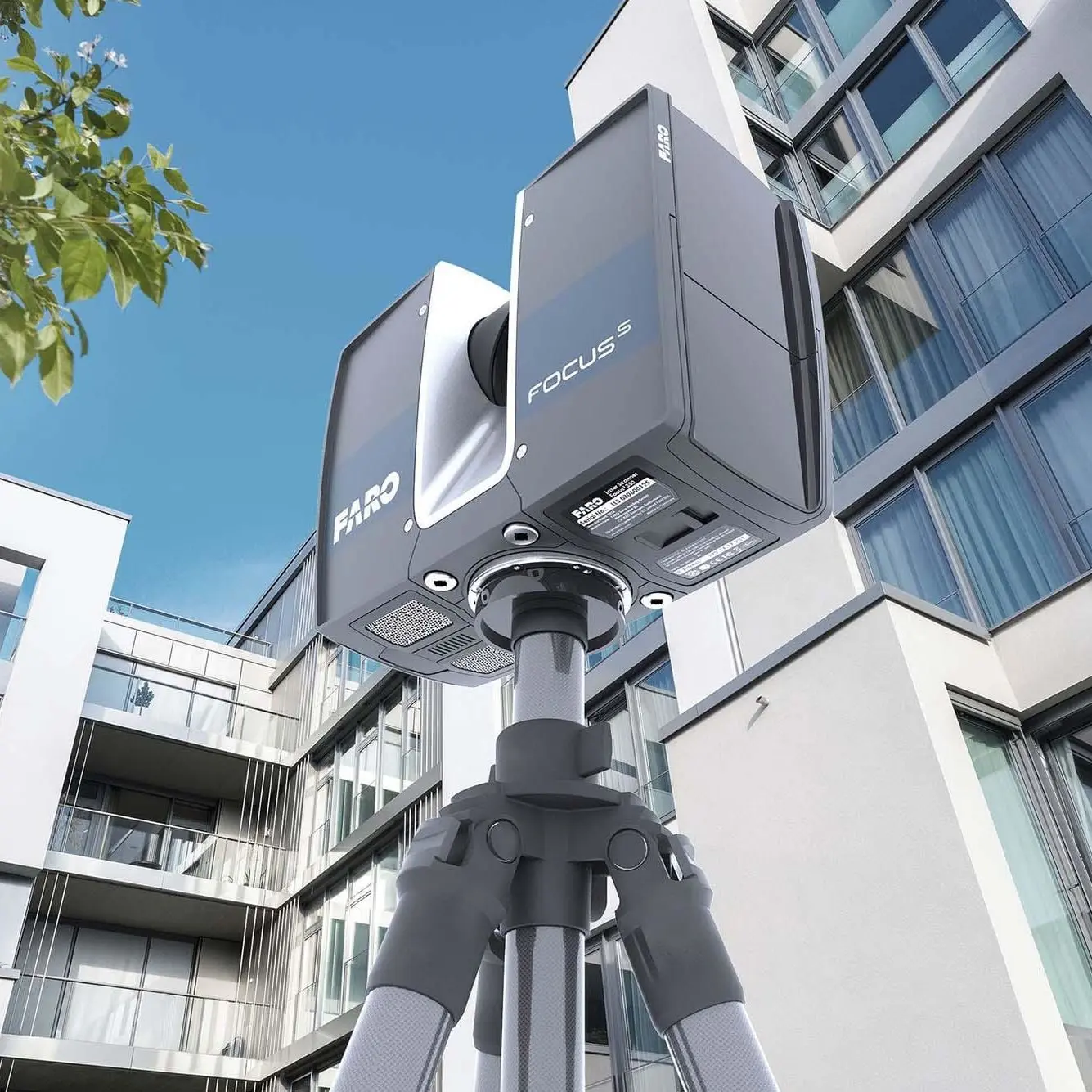
High-precision 3D laser scanning captures reliable geometry for buildings, interiors, facades, structures, and engineering spaces.
Reduce repeat site visits and speed up design, renovation, coordination, and documentation workflows.
Receive point clouds, BIM models, as-built drawings, CAD files, and other outputs prepared for real project tasks.
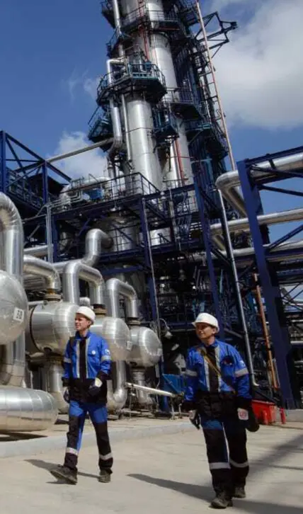
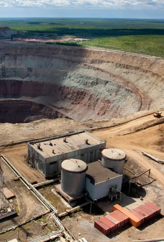
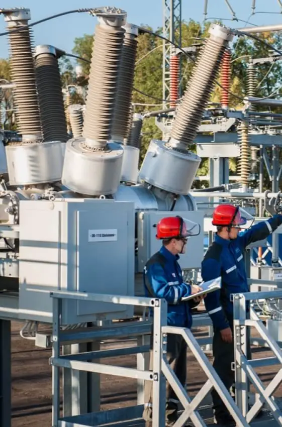
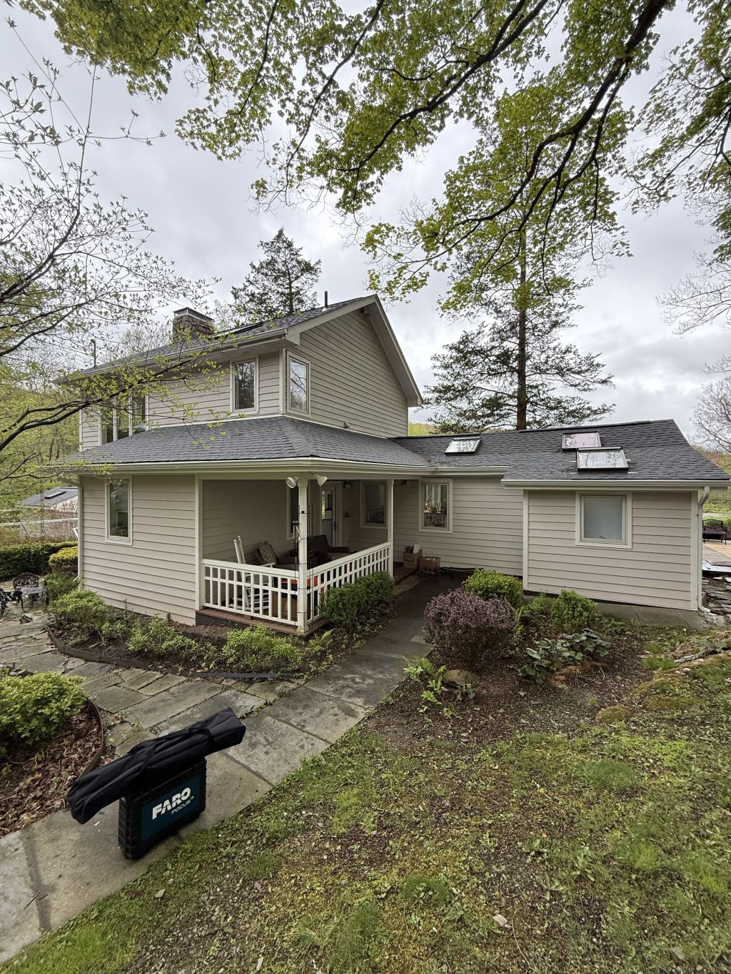
We work with residential, commercial, industrial, infrastructure, and heritage properties.
Digital survey data supports comparison, analysis, and ongoing monitoring throughout the project lifecycle.
YOUR BENEFITS IN NUMBERS
Helping you speed up project workflows while improving data quality
Reduce the time required for control measurements and site verification.
Quick access to initial scan data after fieldwork is completed.
Typical time to compare survey data with an existing 3D model, depending on scope.


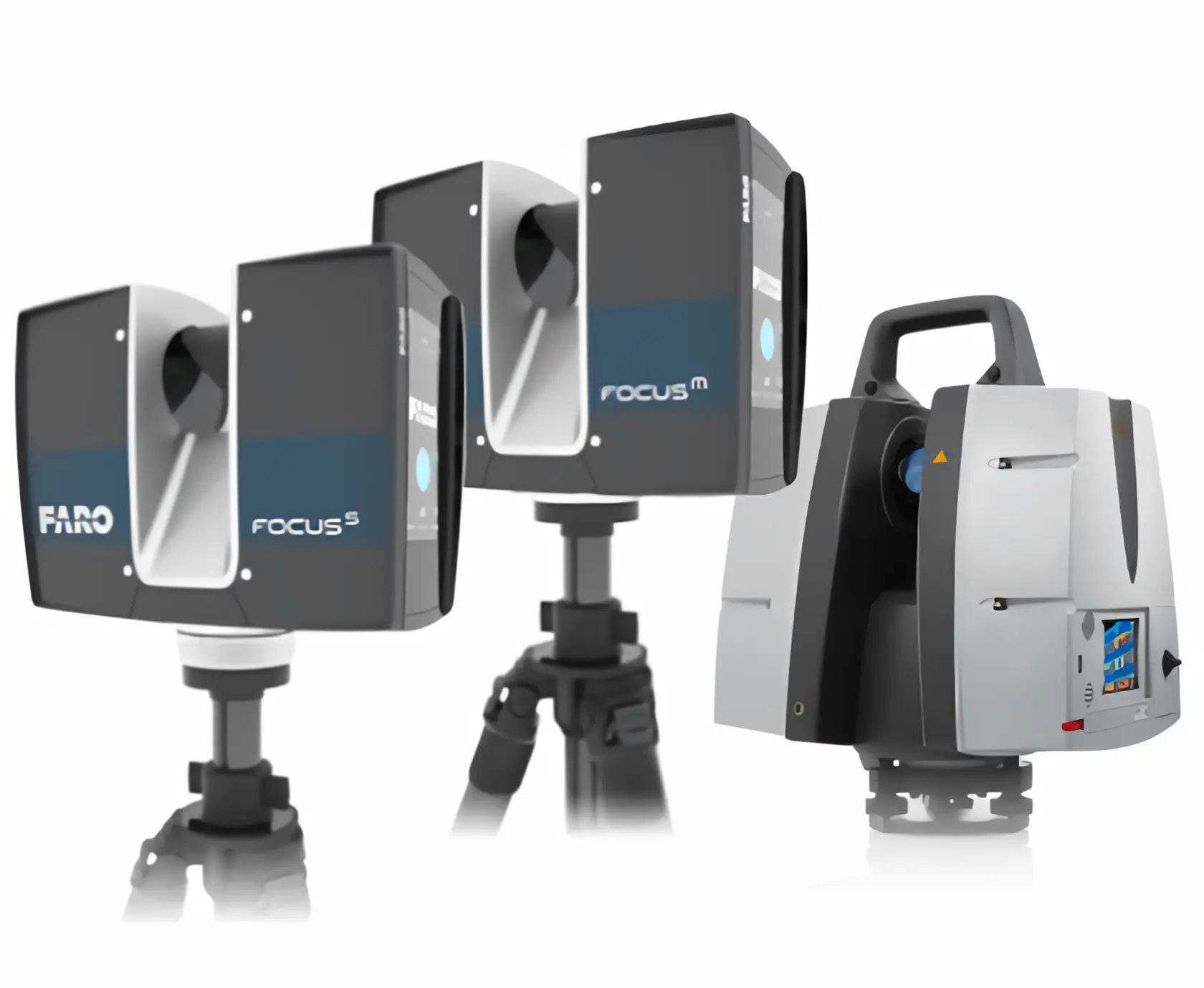
Advanced Equipment for Accurate 3D Scanning