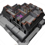
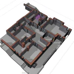
We take our obligations seriously, which is why we have insurance with coverage of $1,000,000.
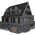
Contact us to discuss your 3D laser scanning project in New York, Los Angeles or anywhere else in the United States.
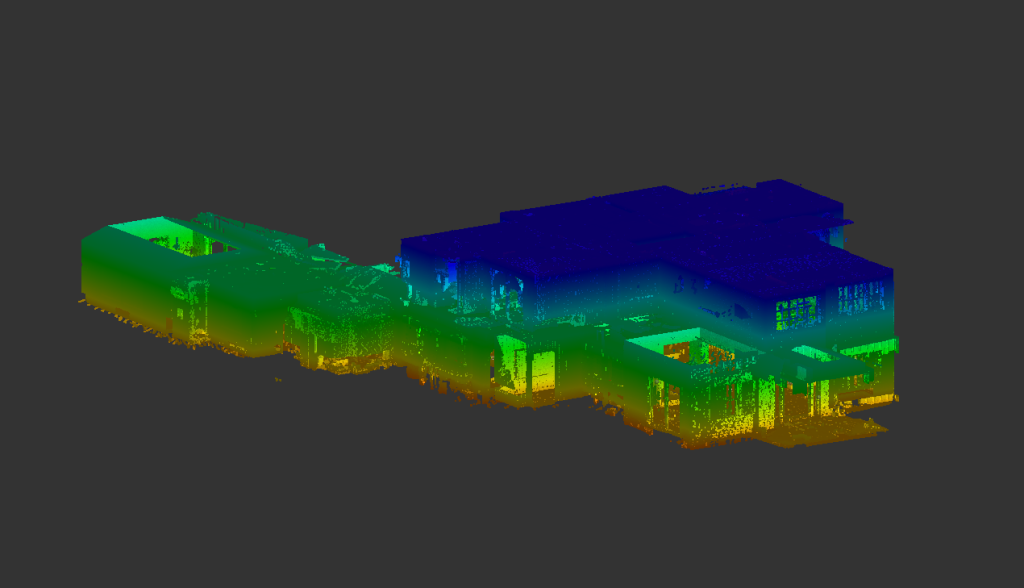
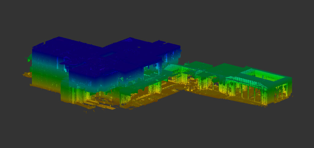
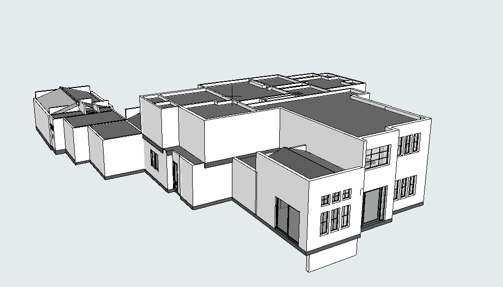
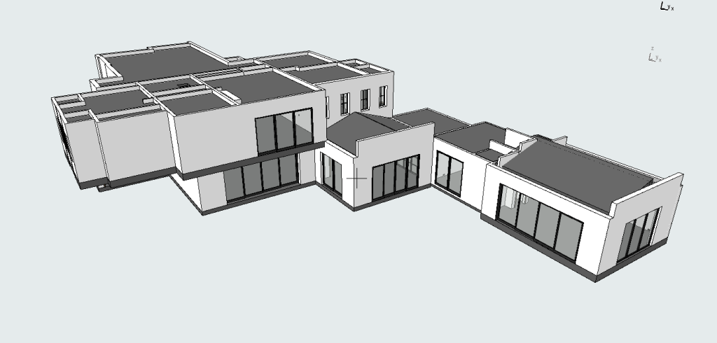
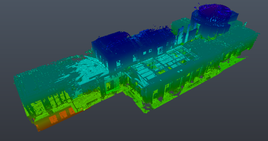
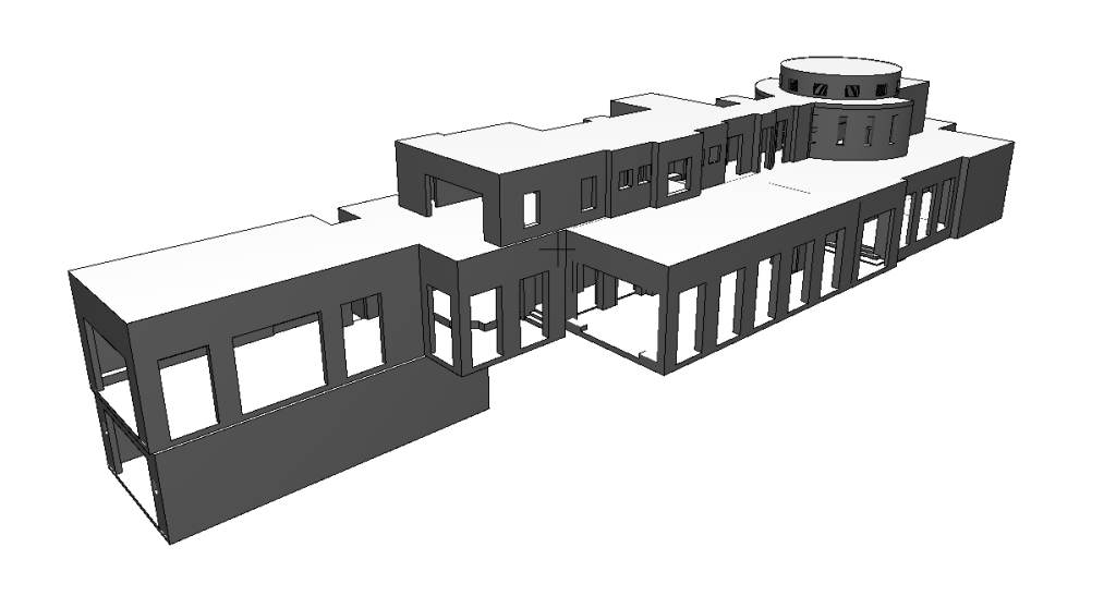
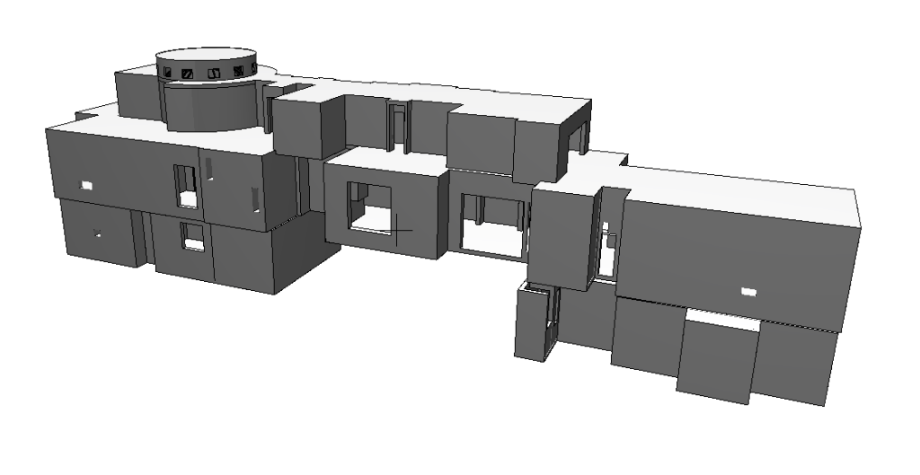
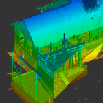
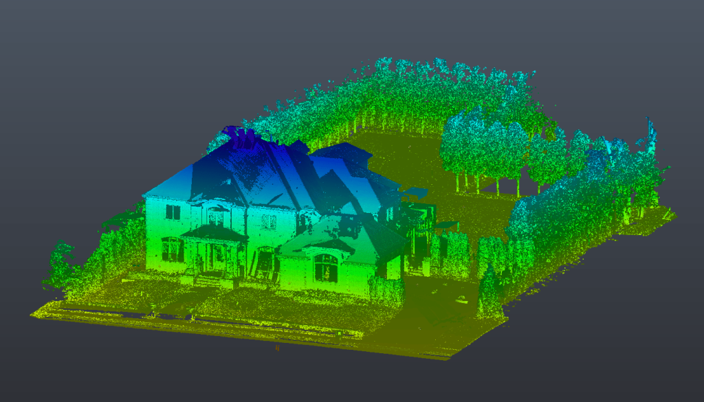
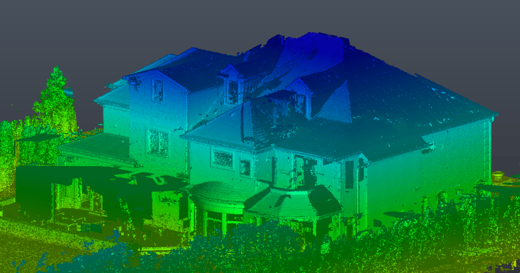
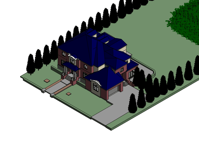
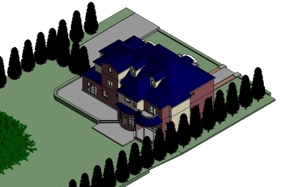
June 10, 2024
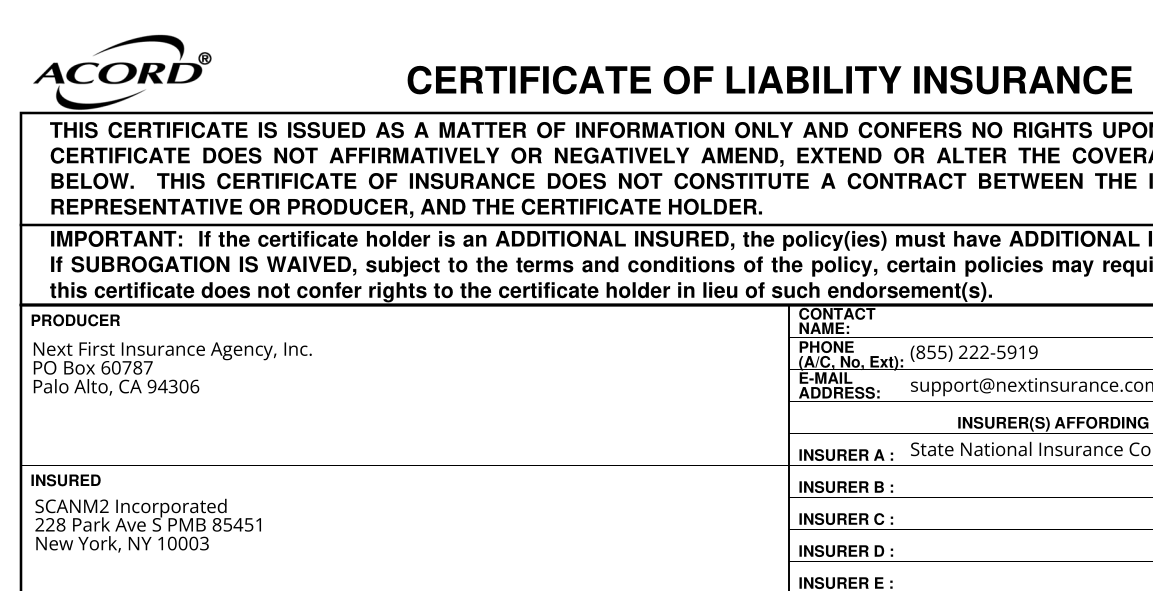
We take our obligations seriously, which is why we have insurance with coverage of $1,000,000.
Contact us to discuss your 3D laser scanning project in New York, Los Angeles or anywhere else in the United States.