3D Laser Scanning of a Luxury Villa – 1600 m²
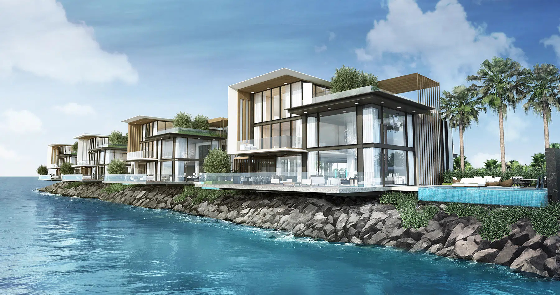
Location: Marsa Al Arab
We carried out a comprehensive 3D laser scanning survey of a luxury waterfront villa with a total area of approximately 1600 m². The project required high-precision documentation of complex architectural geometry, multi-level spaces, façade elements, and detailed interior structures to support further design and renovation works.
The objective was to deliver an accurate digital representation of the building’s as-built condition, ensuring a reliable basis for architectural and engineering decision-making.
Project Overview
Project type: Terrestrial 3D laser scanning of a luxury residential villa
Location: Marsa Al Arab
Area: approx. 1600 m²
Purpose: Preparation of complete 2D documentation and optional 3D/BIM model as a foundation for renovation, redesign, and coordination
Measurement accuracy: ±4 mm
Project Challenges
The villa featured advanced architectural geometry and multiple structural levels, including terraces, large glazing areas, staircases, and façade details requiring precise capture.
Key challenges included:
- Maintaining millimeter-level accuracy across large interior and exterior areas
- Capturing façade geometry and glazing systems
- Coordinating scanning operations within a premium residential environment
- Delivering documentation within an optimized timeline
Technical Scope
The project included:
- Terrestrial 3D laser scanning of the entire building
- Generation of a high-density point cloud
- Registration and alignment of scanning stations
- Preparation of complete 2D documentation (floor plans, sections, elevations)
- Optional development of a 3D BIM-ready model
The point cloud served as the primary data source for all further architectural and engineering work.
Methodology
Our workflow consisted of:
- On-site terrestrial laser scanning
- Data registration and quality control
- Point cloud processing and validation
- Preparation of 2D drawings based on verified scan data
- Optional development of a 3D model compatible with ArchiCAD and Revit
- Export of deliverables in required formats (.dwg, .pdf, .rvt, .pln, etc.)
Internal quality control procedures ensured compliance with accuracy requirements throughout all project stages.
Technical Model Development
Based on the processed point cloud data, we developed a precise digital representation of the villa, enabling further architectural refinement and coordination.


These models demonstrate the structural and architectural accuracy achieved through high-resolution laser scanning and proper data registration.
Results
The Client received a complete documentation package including:
- Full point cloud dataset – accurate as-built representation of the property
- 2D documentation – detailed floor plans, sections, and elevations
- Optional 3D model – compatible with ArchiCAD and Revit for BIM workflows
- Technical report – including methodology and accuracy parameters
Thanks to an optimized workflow, documentation delivery time was reduced by several working days while maintaining full measurement precision.
Architectural Outcome
The high-precision digital documentation enabled confident architectural development and premium design execution.
Accurate scan data ensured reliable geometry, minimized redesign risks, and supported smooth coordination between design and engineering teams.