Point Cloud to CAD Conversion for Existing Buildings
Point cloud to CAD conversion allows architects, engineers, contractors, and property owners to transform laser scan data into accurate technical drawings for existing buildings. Instead of relying on outdated plans or manual measurements, project teams can work from measured geometry captured directly on site.
At ScanM2, we provide point cloud to CAD services for existing building documentation, converting registered point cloud data into clear and structured CAD deliverables for renovation, retrofit, reconstruction, and design workflows.
Contact Us Now for a Free Consultation!
Our deliverables are prepared for practical use in architecture, engineering, permitting, coordination, and construction documentation.
What Is Point Cloud to CAD Conversion
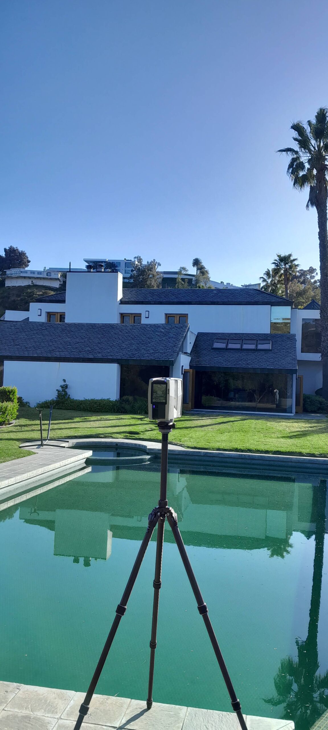
Point cloud to CAD conversion is the process of transforming laser scan data into technical 2D documentation. After a building is scanned, the resulting point cloud serves as a precise geometric reference for drafting floor plans, sections, elevations, and other CAD drawings.
This workflow is commonly used when project teams require accurate existing conditions documentation but do not necessarily need a full BIM model.
The process helps create:
- floor plans
- building sections
- façade elevations
- reflected ceiling plans
- technical as-built drawings
Compared with traditional measurement workflows, point cloud-based drafting provides significantly better accuracy and more complete building data.
What We Deliver

Our point cloud to CAD services include the preparation of technical documentation for existing buildings based on registered scan data.
Typical deliverables include:
- floor plans
- sections
- elevations
- reflected ceiling plans
- façade drawings
- dimensioned layouts
- as-built documentation
- DWG and PDF files
Depending on project scope, documentation can be prepared for architecture, structure, interior spaces, or visible MEP systems.
How Point Cloud to CAD Conversion Works

The workflow begins with laser scanning of the building and continues through several production stages before final CAD delivery.
| Stage | Process | Result |
|---|---|---|
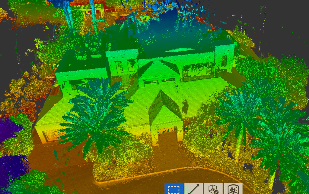
| Laser scanning | On-site capture of building geometry | Raw scan data |
| Registration | Alignment of scans into one coordinate system | Registered point cloud |
| Processing | Cleanup and geometry verification | Usable point cloud |
| CAD drafting | Creation of technical drawings | CAD documentation |
| Final delivery | Export to DWG/PDF | Documentation package |
Once the point cloud is registered and verified, drafting specialists use the measured geometry as a reference for CAD production.
When You Need Point Cloud to CAD Services
Point cloud to CAD workflows are widely used in projects involving existing buildings where accurate documentation is required before design or construction begins.
These services are commonly used for:
- renovation projects
- building reconstruction
- adaptive reuse
- commercial fit-outs
- permit documentation
- technical building surveys
- as-built documentation
The workflow is especially valuable when original building drawings are missing, outdated, or no longer reflect actual site conditions.
Point Cloud to CAD vs BIM Modeling

Point cloud data can be converted into either CAD drawings or BIM models depending on project goals.
| CAD Documentation | BIM Modeling |
|---|---|
| 2D drawings | Intelligent 3D model |
| Faster production | Longer production workflow |
| Lower cost | Higher modeling cost |
| Best for documentation | Best for coordination |
| DWG/PDF outputs | RVT/IFC outputs |
For many projects, CAD documentation is the most practical solution when the primary goal is accurate technical drawings rather than multidisciplinary BIM coordination.
Projects requiring coordination across architecture, structure, and MEP disciplines may later continue into Scan to BIM services or full BIM modeling workflows.
Building Types We Work With
We provide point cloud to CAD documentation for a wide range of existing buildings, including:
- commercial buildings
- office spaces
- residential properties
- industrial facilities
- retail spaces
- historical and heritage buildings
- public buildings
Our workflow is adapted to both small renovation projects and large-scale building documentation programs.
Why ScanM2
ScanM2 combines laser scanning expertise with practical drafting and documentation workflows for existing buildings.
We focus on:
- accurate measured geometry
- clear technical documentation
- CAD-ready deliverables
- practical renovation workflows
- coordination with architectural and engineering teams
Our point cloud to CAD services are designed to provide reliable documentation that supports real project execution rather than theoretical modeling only.