

3D Laser Scanning Services in Canada
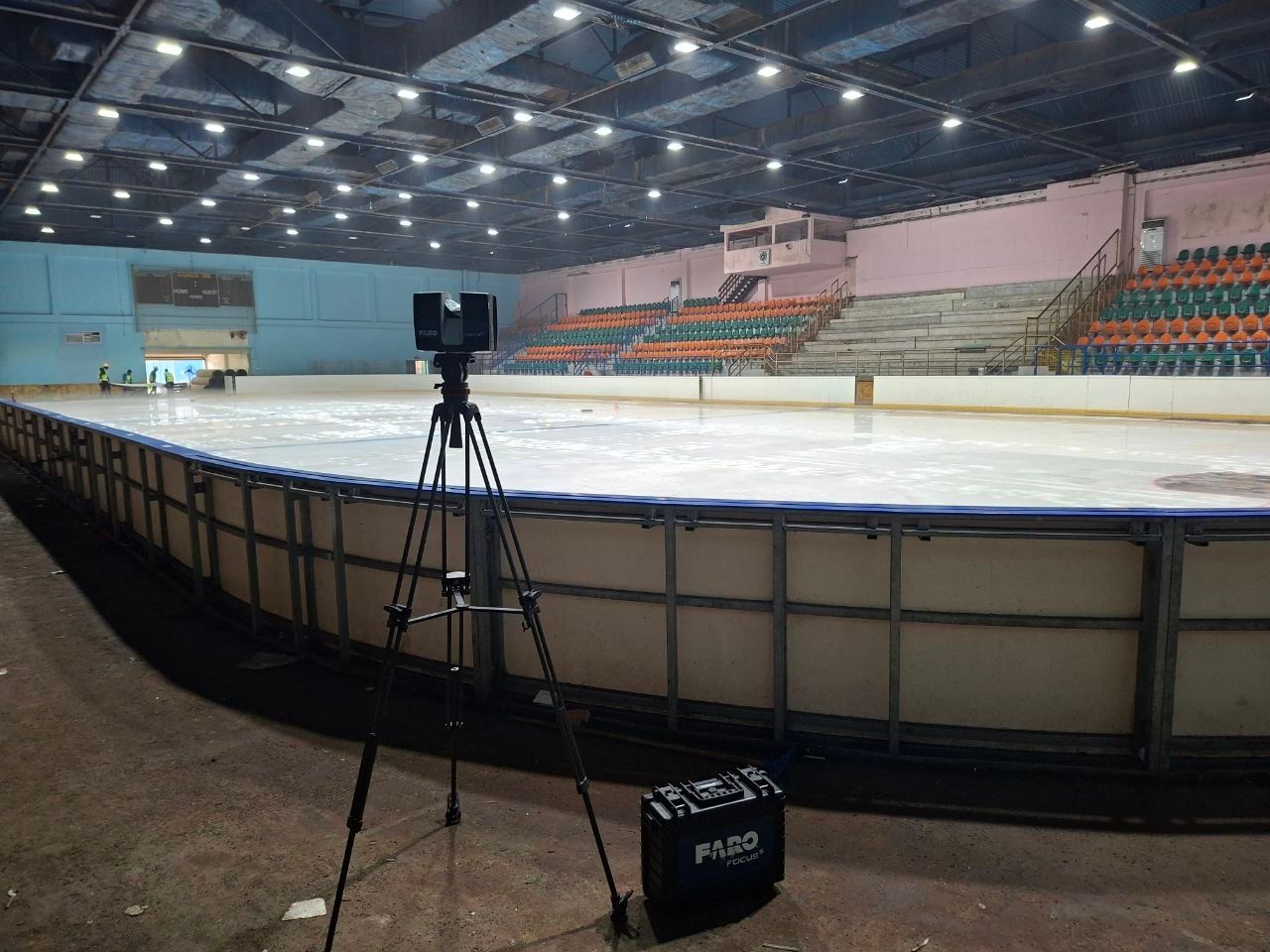
ScanM2 provides 3D laser scanning across Canada, from Ontario and Quebec to British Columbia, the Prairie provinces and Atlantic Canada. We measure existing buildings and industrial facilities with FARO laser scanners, register every scan into one point cloud and turn it into the files design and construction teams actually open: 2D as-built drawings in DWG, Revit models, and open formats such as E57 and .ifc.
Contact Us Now for a Free Consultation!
How We Work in Canada
There are two ways to start. Our crews can scan the building on site, whether it is a downtown office floor, a century-old house or a production hall. Or, if you already have scan data from your own equipment or an earlier survey, we work remotely from your existing point cloud. Either way, registration, drafting and modeling are carried out by our own team, so the same people are responsible for the data from the first scan position to the last revision.
Typical accuracy for building scans is within ±2–3 mm. Drawings and models follow your units, layers, title blocks and Revit templates.
Ontario
Ontario is the country’s largest construction market, and much of it is renovation of what already stands. In Toronto and the GTA we scan Victorian houses for additions and multiplex conversions, office floors for fit-outs and former industrial buildings for new uses; read more on our page about 3D scanning services in Toronto. Outside the GTA we work in Hamilton, Kitchener-Waterloo, London, Windsor and Ottawa, where many projects involve university campuses, hospitals and public buildings that have to stay open during the work.
Design in Ontario follows the Ontario Building Code. Heritage properties are protected under the Ontario Heritage Act, either individually or as part of a heritage conservation district, so façades and interiors often need to be recorded before any change is proposed.
Quebec
Montreal has a building stock unlike any other Canadian city: rows of plexes with outdoor staircases, greystone façades, converted churches and old factories along the Lachine Canal. Our page on 3D scanning in Montreal covers the city in detail. In Quebec City, the Historic District of Old Québec has been on the UNESCO World Heritage List since 1985, and restoration there starts from precise measured drawings of masonry walls, roofs and openings. We also work in Laval, Longueuil, Gatineau, Sherbrooke and Trois-Rivières. Quebec’s Construction Code is based on the National Building Code of Canada with Quebec amendments.
British Columbia
In Vancouver, Burnaby, Surrey, Richmond, Victoria and Kelowna, we scan offices, schools, multifamily buildings and older brick and timber blocks such as those in Gastown and Chinatown. British Columbia lies in an active seismic region, and a seismic upgrade begins with an accurate picture of the existing structure: wall thicknesses, floor levels, openings and every element that can be seen. Our point cloud and drawings give the structural engineer that picture; the assessment and the upgrade design remain their work.
Alberta and the Prairies
Calgary has backed the conversion of vacant downtown office towers into apartments, and every conversion depends on knowing exactly where the columns, cores, shafts and slab edges are. In Edmonton and the surrounding region we document process plants, refineries and manufacturing facilities, where equipment, piping and steel must be modeled before a shutdown or expansion; see 3D laser scanning for manufacturing plants. In Winnipeg, the Exchange District, a National Historic Site since 1997, keeps more than a hundred turn-of-the-century warehouses and office buildings with terra cotta and stone façades. We also work in Saskatoon and Regina.
Atlantic Canada
Halifax, Dartmouth, Moncton, Fredericton, Saint John, Charlottetown and St. John’s have dense historic cores of masonry commercial blocks, timber-frame houses and waterfront warehouses, together with hospitals, universities and food-processing plants. Coastal weather is hard on these buildings, and a scan gives architects and engineers an exact record of façades, rooflines and structure before repairs.
What You Receive
| Deliverable | Use | Formats |
|---|---|---|
| Registered point cloud | Measurements, clash checks, design base | E57, RCP/RCS, LAS, PTS |
| 2D as-built drawings | Plans, sections, elevations, ceiling plans | DWG, PDF |
| Revit model | Architecture, structure and MEP | RVT, .ifc |
| Façade drawings | Restoration and heritage documentation | DWG, PDF |
| Plant documentation | Equipment, piping and steel for retrofits | DWG, RVT, point cloud |
For modeling, see our Scan to BIM services, point cloud modeling and as-built drawings.
Codes, Heritage Reviews and Legal Surveys
Every province and territory sets its own building code, most of them based on the National Building Code of Canada. Heritage reviews draw on provincial legislation, municipal registers and often the Standards and Guidelines for the Conservation of Historic Places in Canada. Property boundaries and legal surveys, such as a Real Property Report in Alberta or a certificate of location in Quebec, are prepared by licensed land surveyors.
Our role is to measure the existing building. Your architect, engineer or licensed surveyor prepares permit drawings, heritage applications, structural designs and legal surveys; our drawings can follow a specification they provide.
Scanning Through the Canadian Winter
Interiors can be scanned in any season. Exterior work is planned around snow and short daylight, because snow on roofs, ledges and grade hides the edges a drawing needs. Freeze-thaw cycles are also a reason to scan: they open cracks in masonry, push bricks out of plane and damage balconies and parapets. A dense scan records that movement, so engineers can measure it rather than estimate it from photographs.
FAQ
Which parts of Canada do you work in?
How accurate is your 3D scanning?
Which file formats do you deliver?
We already have a point cloud. Can you work with it?
Can you scan buildings in winter?
Do you prepare legal surveys or permit drawings?
Can you document heritage buildings?
Do you have pages for specific Canadian cities?
Start Your Canadian Project
Send us the address, the type of building and what you need, a point cloud, drawings or a model, and we will propose a scope. Contact us or use the form on this page.

