

3D Laser Scanning Services in Massachusetts
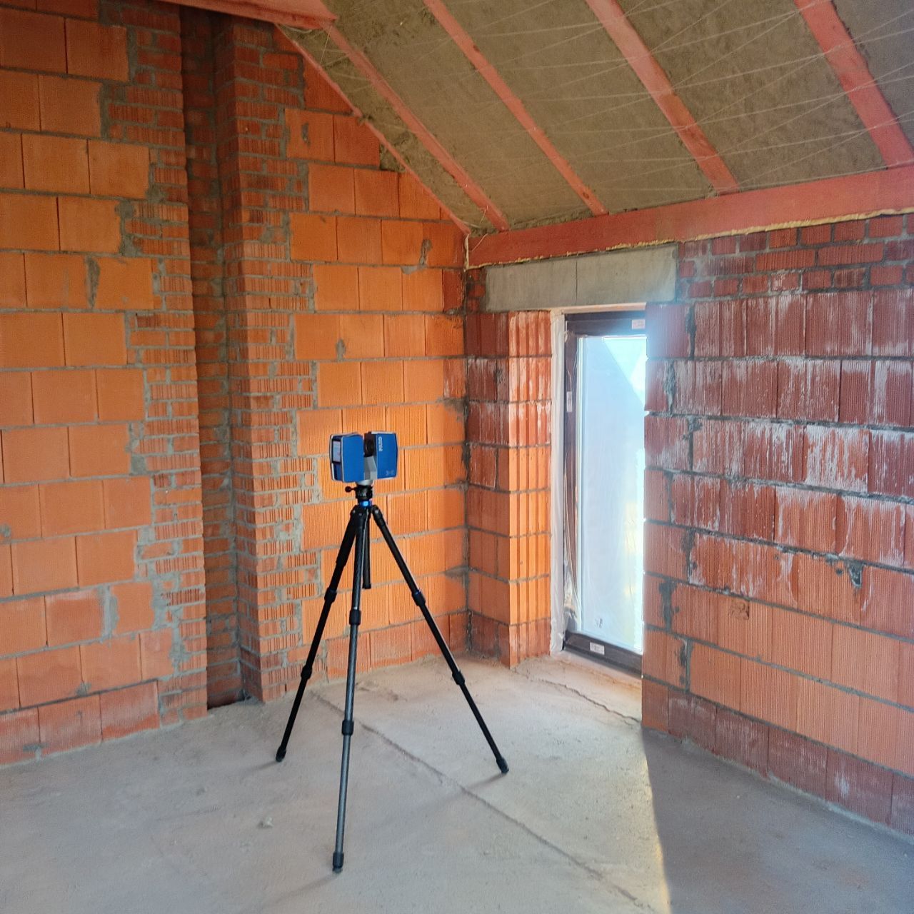
Most building work in Massachusetts happens inside something old: a wood-frame three-decker in Worcester, a brick mill on a canal in Lowell or Holyoke, a lab floor in Cambridge, a shingled house on the Cape. Few of them come with reliable drawings. Our FARO laser scanners record them as they stand, and we hand over registered point clouds, as-built drawings and Revit models, so architects, engineers and builders can design from what is really there.
Contact Us Now for a Free Consultation!
ScanM2 has no Massachusetts office. We send a scanning crew to the site, from the Berkshires to Provincetown or to any other US state, and our own team does the drafting and modeling. Scan data you already own can be drafted and modeled without another trip. Our national 3D scanning services page explains equipment and workflow.
Three-Deckers in Worcester and the Mill Cities
Worcester is often called the city of three-deckers, and the same stacked wood-frame houses fill neighborhoods in New Bedford, Fall River, Lowell and Lawrence. Owners renovate them unit by unit, add rear porches and stairs, convert attics or combine apartments. After a century of changes, floors rarely line up and walls are seldom square. A scan of all three floors, the basement and the exterior gives your architect plans, sections and elevations that reflect the actual building. Egress, code review and permit drawings remain the architect’s responsibility.
Brick Mills from Lowell to Holyoke
The textile mills along the Merrimack, the Blackstone and Holyoke’s canals are some of the largest existing buildings in the state, and many have already been turned into apartments, offices and studios. Lowell’s Boott Mills, a millyard listed on the National Register, is one well-known example. Mill conversions mean long floors with repetitive columns, sloping slabs, timber or iron framing and later additions that never appear on old plans. We capture the whole complex and deliver drawings and a Revit model the design team can test unit layouts against.
Many of these projects use the Massachusetts Historic Rehabilitation Tax Credit, certified by the Massachusetts Historical Commission. The application belongs to your architect or preservation consultant; what we add is a measured record of the mill as it stands. For detailed facade and ornament work, see our heritage scanning services.
Labs and Research Space in Cambridge and Along Route 128
Kendall Square in Cambridge and suburbs along Route 128 such as Waltham and Lexington are home to many lab and research buildings, a good number of them converted from offices or older industrial space. Lab fit-outs are driven by MEP: exhaust, process piping, ductwork and the structure that has to carry it. Cambridge has also opted into the state’s Specialized Stretch Energy Code, under which major renovations must be all-electric or wired for the switch, so engineers need an accurate picture of existing systems before they redesign them. We scan ceilings, shafts and mechanical rooms and model architecture, structure and MEP in Revit. For model standards, see BIM services in Massachusetts.
Cape Cod, the Islands and the South Shore
Coastal homes and commercial buildings from Plymouth to Falmouth, Hyannis, Chatham and Provincetown are renovated, raised or rebuilt with flood and storm exposure in mind. A scan records existing floor levels, framing, foundations visible on site and the facades, as the base for the design. A licensed surveyor issues any elevation certificate or legal survey, and your project team handles the Notice of Intent to the town conservation commission.
Springfield, the Pioneer Valley and the Berkshires
Western Massachusetts has its own mix of buildings: downtown Springfield’s commercial blocks, mill buildings in Holyoke, Chicopee and Westfield, college campuses around Northampton and Amherst, and older civic buildings and churches in Pittsfield and the Berkshire towns. Scanning gives renovation teams drawings of interiors, roofs and facades without repeated site trips for measuring.
The Files
A registered point cloud in E57, RCP/RCS, LAS or PTS, typically within ±2–3 mm for building scans. Drawing sets in DWG and PDF, from floor plans and sections to elevations and ceiling plans. Revit models in RVT, with .ifc export. Facade drawings and industrial documentation for projects that need them.
Next to Boston, Not Instead of It
For projects in Boston itself, see our page on 3D scanning in Boston. Near the state line, we also cover Rhode Island and Connecticut. Elsewhere in Massachusetts, we work in Worcester, Springfield, Cambridge, Lowell, Lawrence, Quincy, Brockton, Framingham, New Bedford, Fall River, Salem, Fitchburg and the towns between them.
FAQ
Do you work outside Boston?
How accurate are your scans?
Can you scan a three-decker for a renovation?
Can you document a mill building for a residential conversion?
Do you scan operating labs?
Can your scan be used for a coastal home in a flood zone?
What formats do you deliver?
Can you work from our existing point cloud?
Start with an Address and a Floor Count
Tell us where the building is, how many floors and roughly how much area need scanning, and whether you need a point cloud, drawings or a Revit model. We will send back a proposed scope. Contact us or use the form on this page.

