

3D Laser Scanning Services in Omaha, NE
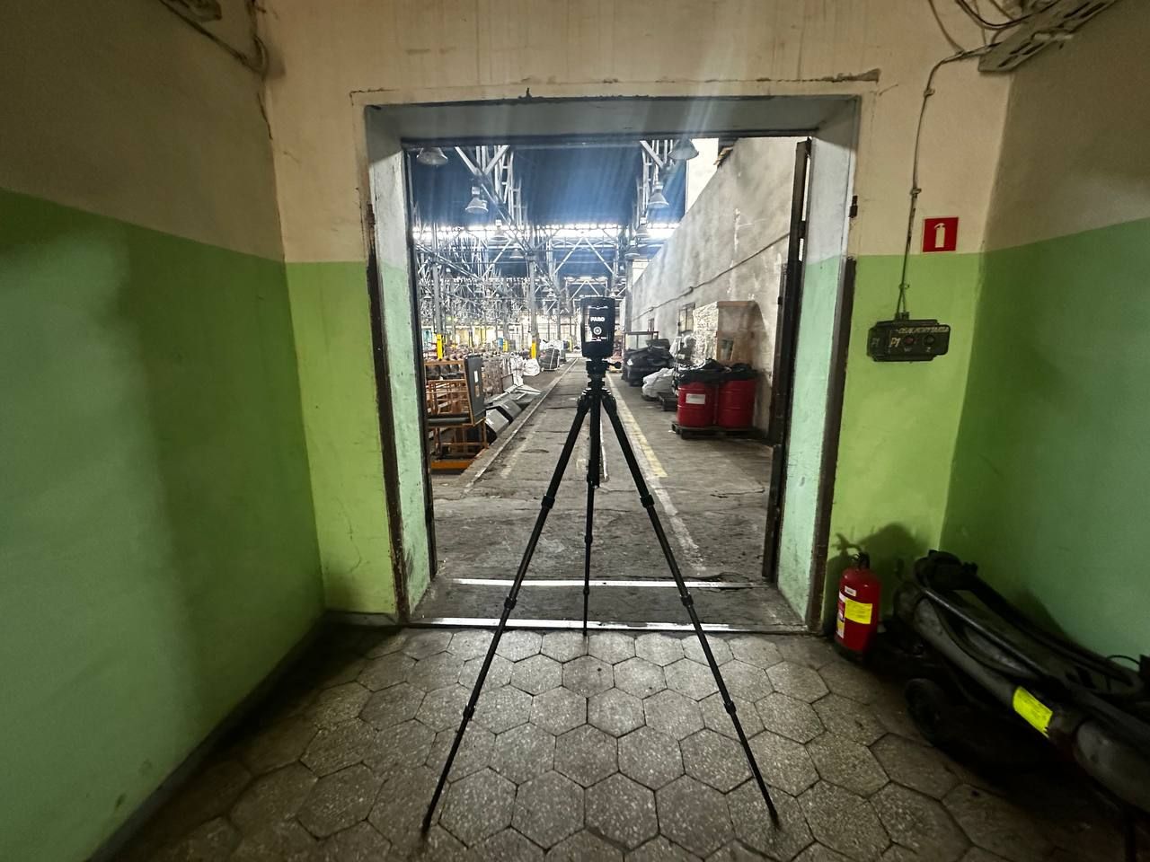
Omaha grew on wholesale trade, meatpacking and insurance, and its buildings still show each of those eras: brick jobbing houses in the Old Market, stockyard-era structures in South Omaha, streetcar neighborhoods in Dundee, Benson and Blackstone, office campuses in West Omaha and data centers in Sarpy County. ScanM2 documents them with FARO laser scanners and delivers registered point clouds, 2D drawings and Revit models to architects, engineers, contractors and owners.
Contact Us Now for a Free Consultation!
We do not keep an office in Nebraska. Our crew travels to sites in Omaha, Lincoln and anywhere else in the state, and across the Missouri River to Council Bluffs and the rest of Iowa. If you already have scan data, we can turn it into drawings and models remotely. Our national 3D scanning services page lists equipment and file formats in detail.
1880s to 1920s: Brick Warehouses of the Old Market
The Old Market Historic District covers about five and a half blocks between 10th and 13th Streets and Farnam and Jackson Streets. It was listed on the National Register in 1979 and is also an Omaha Landmark. Its buildings served as wholesale jobbing houses from the 1880s into the early twentieth century; by 1970 many had become restaurants, shops and apartments. The neighboring Jobbers Canyon warehouses were demolished in 1989, so the Old Market is where most of this building type survives downtown.
Inside, these warehouses combine timber or cast-iron columns, thick brick bearing walls, old freight shafts and floors that have moved over a century. A scan records every column, opening and floor level, so a renovation or a new tenant layout starts from measured geometry. Work on designated landmarks goes before Omaha’s Landmarks Heritage Preservation Commission, and owners may apply for the federal credit or the Nebraska Historic Tax Credit through History Nebraska. Our drawings document the existing building for those applications; your architect or preservation consultant prepares and submits them.
1890s to 1930s: Streetcar Neighborhoods
The Dundee–Happy Hollow Historic District, about two miles west of downtown, was listed on the National Register in 2005 and contains some 2,100 contributing buildings, most of them houses from the early twentieth century. Along Farnam Street, the Blackstone District has turned its apartment blocks, the former Blackstone Hotel building and old storefronts into one of the city’s liveliest streets. Benson’s main street has a similar mix of older commercial buildings with apartments upstairs.
For houses we capture interiors, basements, attics and facades ahead of additions and remodels. For small commercial buildings we record storefronts, upper floors and structure before tenant changes or conversions to housing, and we deliver plans, sections and elevations in DWG and PDF.
1883 to 1999: South Omaha and the Stockyards
For more than a century the Union Stockyards anchored South Omaha, and for a time the city overtook Chicago as the largest livestock market in the country. The yards closed in 1999. The Livestock Exchange Building, completed in 1926, still stands, and the former yards have been redeveloped with a college campus, a library, housing and commercial buildings. Food processing is still part of the regional economy.
In food and processing plants we document equipment, piping, platforms, structural steel and clearances before lines are moved or rooms are rebuilt, and we work under each plant’s hygiene, safety and access rules. Our page on 3D laser scanning for manufacturing plants describes this kind of work.
1950s Onward: Offices, Hospitals and Campuses in West Omaha
Finance, insurance and health care are among the largest employers in the metro, and their office buildings, medical centers and corporate campuses are renovated in phases, often while staff and patients stay in the building. We plan scans around working hours and clinical areas and capture ceilings, shafts, mechanical rooms and roofs, so MEP engineers design replacements against what is actually installed.
For modeling work in the city, see BIM services in Omaha; for existing-conditions drawings anywhere in the state, see as-built services in Nebraska.
Today: Data Centers and Warehouses in Sarpy County
South of the city, Sarpy County has built up a cluster of data centers in and around Papillion, alongside distribution warehouses and light industrial parks. In data halls we scan white space, electrical and mechanical rooms and roof equipment before fit-outs and expansions, always under the operator’s access procedures. In warehouses we record racking, columns, roof structure, dock areas and sprinkler mains before a building is reconfigured for a new tenant.
Beyond the Metro
We also work in Lincoln, Grand Island, Kearney, Norfolk and smaller Nebraska towns, and in western Iowa. For projects farther away, see our pages on 3D scanning in Kansas City and 3D scanning in Des Moines.
Files at Handover
- Point cloud: registered and checked, in E57, RCP/RCS, LAS or PTS.
- 2D drawings: plans, sections, elevations and reflected ceiling plans in DWG and PDF.
- Revit model: architecture, structure and MEP at the level of detail you set, in RVT or .ifc.
- Industrial documentation: equipment, piping and steel for plant retrofits.
For building scans, accuracy is typically within ±2–3 mm, verified when the scans are registered.
FAQ
Do you have a crew based in Omaha?
Can you scan an Old Market warehouse before a renovation?
Will your drawings support a historic tax credit application in Nebraska?
Do you work in food and processing plants?
Can you scan an occupied office building or hospital?
Do you scan data centers and warehouses in Sarpy County?
Do you also work in Lincoln and Council Bluffs?
How accurate is your 3D laser scanning?
Request a Scan in Omaha
Tell us the address, the building type and the result you need. We will come back with a proposed scope and questions about access to the site. Contact us or use the form on this page.

