

3D Scanning Services in Salt Lake City, UT
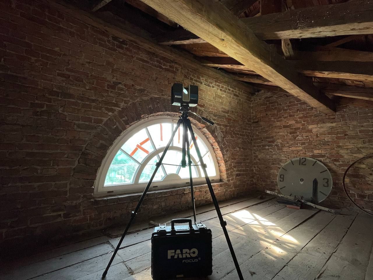
ScanM2 provides 3D laser scanning services in Salt Lake City and across the Wasatch Front, from Ogden and Layton to Sandy, Lehi and Provo. We capture existing buildings and sites with terrestrial laser scanners and turn the data into what your team actually works with: a registered point cloud, 2D as-built drawings and Revit models. Architects, engineers, contractors and building owners use our scans to plan renovations, additions, tenant fit-outs and MEP upgrades without guessing about existing conditions.
Contact Us Now for a Free Consultation!
We do not have an office in Salt Lake City. Our crews travel to sites in Utah and in any other US state, and the drafting and modeling are done by our own team. If you already have a scan, we can work from your point cloud remotely. For equipment and deliverables in more detail, see our national 3D scanning services page; for projects elsewhere in the state, see 3D scanning in Utah.
What You Get from a 3D Scan
Every project starts with field capture. We set up the scanner at many positions inside and outside the building, then register all scans into one coordinate system and check the result. Typical accuracy for building scans is within ±2–3 mm.
| Deliverable | What it is | Typical formats |
|---|---|---|
| Registered point cloud | Millions of measured points showing the building exactly as it is | E57, RCP/RCS, LAS, PTS |
| 2D as-built drawings | Floor plans, sections, elevations, reflected ceiling plans | DWG, PDF |
| 3D model | Revit model of architecture, structure and MEP at the agreed level of detail | RVT, .ifc |
| MEP documentation | Ductwork, piping, equipment and clearances for upgrades | DWG, RVT |
| Site and facade data | Facades, roofs and site surroundings for design and permits | DWG, point cloud |
You choose the level of detail. A tenant fit-out may only need floor plans; a hospital or plant upgrade usually needs a coordinated Revit model of MEP systems. See as-built drawings, Scan to BIM services and MEP drawings for what each deliverable includes.
Salt Lake City Projects We Scan
- Historic buildings and districts. The Avenues, Capitol Hill, South Temple and other historic districts have many brick and stone buildings that are renovated, converted or restored. Accurate drawings help architects prepare applications to the Salt Lake City Historic Landmark Commission and document details before work starts. See also heritage scanning services.
- Seismic upgrades of older buildings. The Wasatch Front sits on an active fault, and many older masonry buildings are being evaluated and strengthened. Structural engineers use our point clouds and models as the existing-conditions base for their analysis and retrofit design. We provide the geometry; the engineering is done by your structural engineer.
- Offices, tech campuses and data centers. Downtown offices, office-to-residential conversions and the tech campuses and data centers of Salt Lake and Utah counties need exact existing conditions for fit-outs, MEP upgrades and coordination.
- Industrial, logistics and manufacturing facilities. Plants, warehouses and distribution centers along the I-15 and I-80 corridors, where equipment, piping and structure must be documented before expansions or retooling.
- Healthcare, education and multifamily. Hospitals, university and school buildings and apartment projects, where renovations happen in occupied buildings and site visits must be short.
- Resorts and hospitality. Hotels, lodges and mountain resort buildings in Park City and the Wasatch Back, often on difficult sites where repeated measurements are expensive.
Point Cloud Scanning in Salt Lake City
A point cloud is the raw result of a laser scan and the base for everything else. We deliver it registered, cleaned and ready to open in Autodesk ReCap, Revit, AutoCAD, Navisworks and other common software.
- Scanners. FARO Focus and other terrestrial laser scanners, chosen for the building and the required detail.
- Already scanned? We accept point clouds from FARO, Leica, Trimble, NavVis and other scanners and turn them into drawings and models remotely. See point cloud modeling.
- Coordinate systems. We can tie the scan to your project grid or to the coordinates provided by your surveyor. Legal boundary and topographic surveys remain the work of a licensed surveyor.
- Large sites and roofs. When a project needs aerial data, we combine ground scanning with drone surveys.
How a Project Works
- Request. Send the address, approximate area, building type and what you need: a point cloud, drawings or a model.
- Scope. We agree on the areas to scan, level of detail, formats and how the site visit will be organized.
- Site visit. Our crew scans the building with minimal disruption to occupants and operations.
- Registration and check. All scans are joined into one point cloud and checked for accuracy.
- Drafting and modeling. Our team produces drawings and Revit models from the point cloud according to your standards and templates.
- Delivery and revisions. You receive the files in the agreed formats; we answer questions and make corrections.
Why Work with ScanM2
- One team from scanning to drawings and BIM, with no hand-offs between subcontractors.
- Accuracy of ±2–3 mm for building scans, checked during registration.
- Deliverables in your formats and templates: DWG, RVT, .ifc, E57, RCP.
- We travel to sites in Utah and any US state, or work from your existing point clouds.
- Related services in one place: BIM services in Utah, 3D scanning for reverse engineering in Salt Lake City, and projects in neighboring states such as Colorado and Las Vegas.
FAQ
Do you provide 3D laser scanning in Salt Lake City?
How accurate is your 3D scanning?
What will I receive after the scan?
Can you scan historic buildings in Salt Lake City?
Can your scans be used for seismic retrofit projects?
Can you model MEP systems from the scan?
We already have a point cloud. Can you work with it?
Do you work outside Salt Lake City?
Send Us Your Project
Tell us the address, the building type and what you need, and we will propose a scope for your Salt Lake City project. Contact us or use the form on this page.

