

3D Laser Scanning Services in the UK
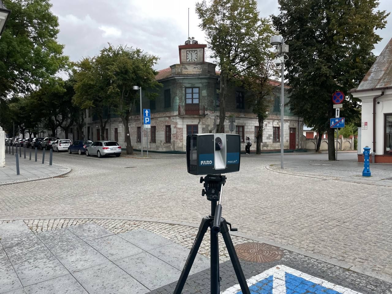
ScanM2 provides 3D laser scanning services across the UK, in England, Scotland, Wales and Northern Ireland. We record existing buildings and industrial sites with FARO laser scanners and turn the data into what designers and owners work with: a registered point cloud, 2D drawings and Revit models. Our crews scan on site, and we can also work remotely from a point cloud you already have. All drafting and modelling are done by our own team.
Contact Us Now for a Free Consultation!
Most British projects start from an existing building rather than an empty plot. A large share of the housing and commercial stock is Victorian, Edwardian or older, has been extended and altered many times, and rarely matches the drawings that survive. A laser scan replaces assumptions with measured geometry, typically to ±2–3 mm for building work, so the design team begins from the building as it actually stands.
One Country, Four Systems
Heritage protection and building rules differ between the four nations, and our drawings fit into each of them as the existing-conditions base.
- England. Historic England maintains the National Heritage List for England, with buildings graded I, II* and II; the great majority are Grade II. Works that affect the character of a listed building need listed building consent from the local planning authority, and conservation areas add their own controls.
- Scotland. Historic Environment Scotland lists buildings in categories A, B and C. Edinburgh’s Old and New Towns are a World Heritage Site, and Scotland runs its own building standards system, separate from the building regulations in England.
- Wales. Cadw, the Welsh Government’s historic environment service, keeps the list of listed buildings in Wales, from Cardiff’s Victorian and Edwardian commercial streets to chapels and market halls in smaller towns.
- Northern Ireland. Listing is handled by the Historic Environment Division of the Department for Communities, which covers much of central Belfast, including the former warehouses of the Linen Quarter.
Whatever the nation, the consent application, the design and any regulatory submission are prepared by your architect, engineer or surveyor. We supply the measured drawings and models, and they can follow a drawing specification you give us.
Our City Pages: London and Manchester
London. Terraces and mansion blocks, listed buildings in more than a thousand conservation areas, office refits in the City and Canary Wharf, and tall residential blocks. See 3D laser scanning services in London.
Manchester. Former cotton mills in Ancoats, canal warehouses in Castlefield, Edwardian packing warehouses on Whitworth Street and the industrial estate at Trafford Park. See 3D laser scanning services in Manchester.
Regions and Cities We Cover
- Midlands. Birmingham, Coventry and Wolverhampton in the West Midlands; Nottingham, Leicester and Derby in the East Midlands.
- North of England. Leeds, Sheffield and Bradford in Yorkshire; Liverpool and the rest of the North West; Newcastle and Sunderland in the North East.
- South and East. Bristol and Bath, where the whole city is a World Heritage Site; Oxford and Cambridge with their college buildings; Southampton, Brighton and the towns of the South East.
- Scotland. Glasgow, Edinburgh, Aberdeen and Dundee, from sandstone tenements to former industrial buildings.
- Wales. Cardiff, Swansea and Newport.
- Northern Ireland. Belfast and Derry~Londonderry.
What We Scan Around the UK
- Period houses and terraces. Extensions, loft and basement conversions and full refurbishments, where wall thicknesses, floor levels and party walls must be known before design starts.
- Listed and historic buildings. Churches, country houses, town halls and commercial blocks, where facades, roofs, joinery and plasterwork are recorded before repair or alteration. More on our heritage scanning services.
- Offices and conversions. Cat A and Cat B fit-outs, office-to-residential conversions and changes of use, where ceiling voids, risers, cores and structure decide what is possible.
- Tall residential buildings. In England, the Building Safety Act 2022 requires accurate, up-to-date digital information to be kept for higher-risk buildings, the so-called golden thread. A point cloud and a model of existing conditions can feed into that record and into facade remediation design. The safety case and regulatory submissions stay with the accountable person and the design team.
- Factories, warehouses and plants. Production halls, plant rooms, racking, steelwork and piping documented before upgrades and line changes. See as-built services for industrial facilities.
- Schools, universities and hospitals. Occupied buildings where visits must be short and planned around lessons, patients and access rules.
What You Receive
| Deliverable | Contents | Formats |
|---|---|---|
| Registered point cloud | The whole site in one coordinate system, typically ±2–3 mm for building scans | E57, RCP/RCS, LAS, PTS |
| 2D drawings | Floor plans, sections, elevations, reflected ceiling plans | DWG, PDF |
| Revit model | Architecture, structure and MEP at the agreed level of detail | RVT, .ifc |
| Facade and heritage drawings | Elevations with openings, mouldings and roof lines | DWG, PDF |
Details on each service: Scan to BIM services, point cloud modelling, as-built drawings and 2D CAD drawings from point clouds.
Two Ways to Start
We scan the site. You send the address, the building type and what you need. We agree the areas, level of detail and formats, our crew scans the building, the scans are registered and checked, and our team produces the drawings or model to your templates.
You already have the scan. If a point cloud exists from an earlier survey, send it to us. We accept data from FARO, Leica, Trimble, NavVis and other scanners and produce the drawings and models remotely, without another site visit.
FAQ
Which parts of the UK do you cover?
How accurate is your 3D laser scanning?
What files will I receive?
Can your drawings support a listed building consent application?
Can you follow our measured survey specification?
Do you scan tall residential buildings?
We already have a point cloud. Can you work from it?
Do you have separate pages for London and Manchester?
Tell Us About Your Project
Send us the location, the type of building and the result you need, and we will come back with a proposed scope for your UK project. Contact us or use the form on this page.

