
3D Laser Scanning Services in New Jersey
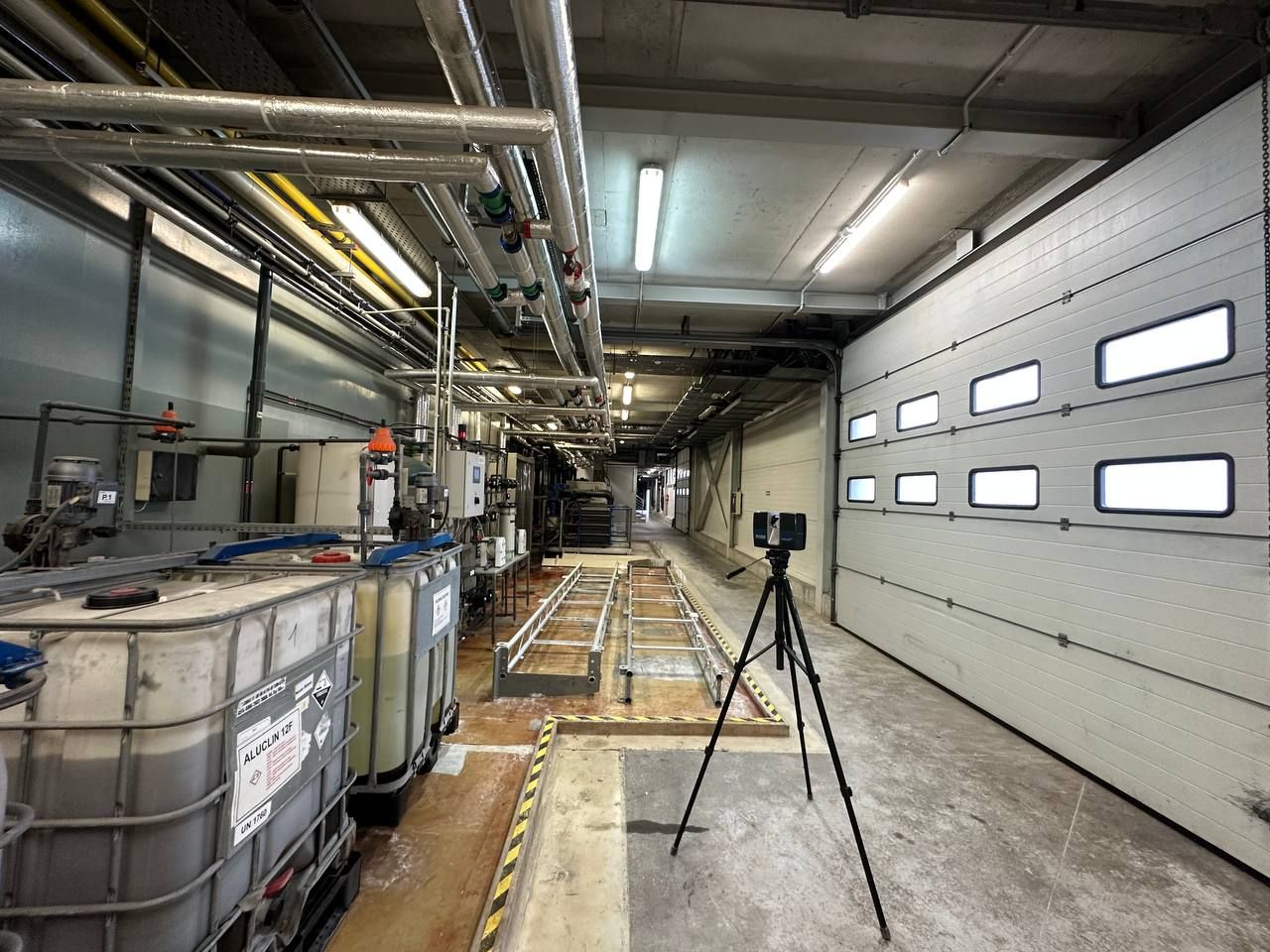
ScanM2 provides 3D laser scanning services across New Jersey, from Newark, Jersey City, Hoboken and Paterson in North Jersey to Edison, New Brunswick, Princeton and Trenton in Central Jersey, and Camden and Cherry Hill in South Jersey. We capture existing buildings and facilities with terrestrial laser scanners and deliver what design teams work with: a registered point cloud, 2D as-built drawings and Revit models for renovations, conversions, expansions and coordination.
Contact Us Now for a Free Consultation!
We do not have an office in New Jersey. Our crews travel to sites anywhere in the state and in any other US state, and the drafting and modeling are done by our own team. If you already have a scan, we can work from your point cloud remotely. For equipment and deliverables in more detail, see our national 3D scanning services page.
What You Get from a 3D Scan
We scan the building or facility from many positions, register all scans into one coordinate system and check the result. Typical accuracy for building scans is within ±2–3 mm.
| Deliverable | What it is | Typical formats |
|---|---|---|
| Registered point cloud | The building or plant as it is, as millions of measured points | E57, RCP/RCS, LAS, PTS |
| 2D as-built drawings | Floor plans, sections, elevations, reflected ceiling plans | DWG, PDF |
| Revit model | Architecture, structure and MEP at the agreed level of detail | RVT, .ifc |
| Industrial documentation | Equipment, piping, steel and clearances for retrofits | DWG, RVT, point cloud |
| Facade drawings | Elevations of rowhouses, brownstones and historic buildings | DWG, PDF |
For models, see BIM services in New Jersey, Scan to BIM services and point cloud modeling.
Where We Work in New Jersey
- North Jersey and the Hudson waterfront. Newark, Jersey City, Hoboken, Bayonne, Elizabeth, Paterson, Hackensack and the rest of Bergen, Essex, Hudson, Passaic and Union counties.
- Central Jersey. Edison, Woodbridge, New Brunswick, Piscataway, Princeton and Trenton, including the Route 1 and NJ Turnpike corridors.
- The Jersey Shore. Monmouth and Ocean counties, Atlantic City and shore communities down to Cape May.
- South Jersey. Camden, Cherry Hill, Mount Laurel, Moorestown and Vineland.
- Northwest Jersey. Morristown, Parsippany and Morris and Sussex counties.
New Jersey Projects We Scan
- Rowhouses, brownstones and multifamily buildings. Renovations, additions and conversions in Hoboken, Jersey City, Newark and older towns across the state. Old buildings rarely match their drawings; a scan captures party walls, floor levels and structure as they are.
- Renovation and reuse of existing buildings. Changes of use, office and industrial conversions and alterations designed under the New Jersey Rehabilitation Subcode start from accurate existing-conditions drawings. Your architect or engineer prepares the code analysis and permit set; we provide the geometry.
- Homes and buildings in flood zones. Owners raising or flood-proofing buildings along the shore and rivers need exact plans, elevations and floor levels for the design. Elevation certificates and legal surveys remain the work of a licensed surveyor.
- Life sciences, laboratories and manufacturing. Labs, production areas and plants in Central and North Jersey, where equipment, piping and MEP must be documented before upgrades or expansions. See 3D laser scanning for manufacturing plants.
- Warehouses and logistics. Distribution centers around Port Newark–Elizabeth and along the Turnpike, where racking, clearances, structure and sprinkler systems must be checked before re-fits.
- Historic buildings. Churches, civic buildings and downtown commercial blocks, where facades and interiors are documented before restoration. Drawings can support submissions reviewed by local preservation commissions and the New Jersey Historic Preservation Office; the submission itself is prepared by your architect.
- Schools, hospitals and offices. Renovations in occupied buildings, where site visits must be short and well planned.
How a Project Works
- Request. Send the address, approximate area, building type and what you need: a point cloud, drawings or a model.
- Scope. We agree on the areas to scan, level of detail, formats and how the site visit will be organized.
- Site visit. Our crew scans the building with minimal disruption to occupants and operations.
- Registration and check. All scans are joined into one point cloud and checked for accuracy.
- Drafting and modeling. Our team produces drawings and Revit models according to your standards and templates.
- Delivery and revisions. You receive the files in the agreed formats; we answer questions and make corrections.
Why Work with ScanM2
- One team from scanning to drawings and BIM, with no hand-offs between subcontractors.
- Accuracy of ±2–3 mm for building scans, checked during registration.
- Deliverables in your formats and templates: DWG, RVT, .ifc, E57, RCP.
- We travel to sites anywhere in New Jersey and any US state, or work from your existing point clouds.
- Nearby: 3D scanning in New York, Philadelphia and Pennsylvania; for parts and equipment, see 3D scanning for reverse engineering in Trenton.
FAQ
Which parts of New Jersey do you cover?
How accurate is your 3D laser scanning?
What will I receive after the scan?
Can you scan a rowhouse or brownstone for a renovation?
Can your drawings be used for a building in a flood zone?
Do you scan laboratories and industrial facilities?
We already have a point cloud. Can you work with it?
Do you also work in New York and Philadelphia?
Send Us Your Project
Tell us the address, the building type and what you need, and we will propose a scope for your New Jersey project. Contact us or use the form on this page.

