

3D Laser Scanning Services in Richmond, VA
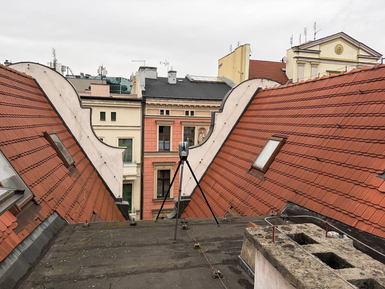
Richmond’s buildings have been reused for three centuries. Tobacco warehouses in Shockoe Bottom became loft apartments, Scott’s Addition traded loading docks for breweries and housing, and rowhouses across the Fan and Church Hill have been divided, joined and divided again. ScanM2 records these buildings as they stand today with FARO laser scanners and turns the scan into point clouds, 2D drawings and Revit models that architects, engineers and builders in the Richmond region can design from.
Contact Us Now for a Free Consultation!
We have no office in Richmond or elsewhere in Virginia. Our crew travels to the site, whether it is in the city, in Henrico or Chesterfield County or anywhere else in the state, and our own drafters and modelers produce the deliverables. If your project already has a point cloud, we can work from it remotely. Equipment, file formats and our general workflow are described on the national 3D scanning services page.
Old Warehouses, New Uses: Shockoe Bottom and Tobacco Row
The tobacco factories and warehouses along Tobacco Row, most of them built between about 1880 and 1930, stood empty after the tobacco companies left in the 1980s. Over the following decades they were turned into apartments, condominiums, offices and restaurants, forming one of the largest contiguous adaptive-reuse areas in the country. Conversions continue, and every new owner inherits heavy timber or steel frames, thick masonry walls, uneven floors and decades of alterations nobody drew.
One scanning visit records the column grid, beam depths, floor elevations, openings and true wall thicknesses of a warehouse. We turn that data into existing-conditions plans, sections and elevations, or into a Revit model your structural and MEP engineers can build on. Shockoe Bottom lies low beside the James River, so floor and threshold heights taken from the scan are often useful early in design; flood-zone determinations and elevation certificates remain the work of a licensed surveyor.
Rowhouses in the Fan, the Museum District and Church Hill
The Fan Area Historic District, listed on the National Register in 1985, covers roughly 85 blocks of late-19th- and early-20th-century houses west of downtown. Church Hill, east of downtown around St. John’s Church, holds some of the oldest residential streets in the city. Typical projects here are rear additions, basement and attic conversions, kitchens moved to the other end of the house, and duplexes returned to single homes or the other way round.
These houses are narrow, deep and rarely square. Party walls lean, floors dip toward the middle of the building and stairs have been rebuilt more than once. Scanning the interior, the street facade and the rear elevation gives your architect a true plan of every level and accurate elevations of both the street and the alley side.
Jackson Ward and the Downtown Commercial Blocks
Jackson Ward, a National Historic Landmark district since 1978, is known for its ornamental ironwork porches and its central place in the history of Black business and culture in Richmond. Along Broad Street and in Monroe Ward, older department stores, hotels and office buildings are being converted into apartments and mixed-use buildings. For these projects we document facades, including ironwork, cornices and storefronts, along with interiors, stair and elevator cores and roofs, so the design team works from measured dimensions instead of estimates.
Historic Tax Credits and the Commission of Architectural Review
Virginia offers a state historic rehabilitation tax credit equal to 25% of eligible expenses, administered by the Virginia Department of Historic Resources, and income-producing buildings can also use the 20% federal credit. Both programs review the proposed work against drawings of the building as it exists. Inside the city’s Old and Historic Districts, exterior changes visible from a public street also need a certificate of appropriateness from Richmond’s Commission of Architectural Review.
Our measured drawings give those submissions an accurate base: elevations showing every window and storefront, floor plans, roof plans and details of trim and masonry. The applications themselves are prepared and submitted by your architect or preservation consultant. Our heritage scanning services page explains how we record historic fabric.
Scott’s Addition and Manchester
Scott’s Addition, north of West Broad Street, grew up in the early 1900s as a district of warehouses and light industry. Today it mixes breweries, cideries, restaurants and apartment buildings, many of them inside former factories. South of the James, Manchester’s old industrial buildings are changing in a similar way. Work here usually involves a change of use: a warehouse becomes a taproom with a new mezzanine, or a factory floor becomes housing. A scan shows the structure, the slab and the existing services before your engineers lay out the new design. Code analysis and permit drawings stay with your licensed design professionals.
Henrico, Chesterfield and the Rest of Virginia
Outside the city limits the work changes character. White Oak Technology Park in eastern Henrico hosts large data center campuses, and the counties around Richmond hold distribution centers, manufacturing plants, office parks, hospitals and schools. In data halls we scan white space, electrical rooms and mechanical spaces for fit-outs and expansions, following the operator’s access and safety rules; see BIM for data centers. In plants and warehouses we capture steel, equipment, racking and piping before retrofits.
We also travel to Petersburg, Fredericksburg and Charlottesville, and to Hampton Roads, which our 3D scanning page for Virginia Beach covers. For Northern Virginia, see our page on 3D scanning in Arlington.
Matching the Deliverable to the Job
| Your project | What we deliver |
|---|---|
| Rowhouse addition or renovation | Floor plans, sections, front and rear elevations (DWG, PDF) |
| Warehouse or factory conversion | Point cloud and a Revit model of structure and envelope (RVT, .ifc) |
| Tax credit or CAR submission | Measured facade drawings and plans for your architect |
| Data center or plant retrofit | Point cloud and industrial documentation of equipment, steel and piping |
Point clouds are delivered as E57, RCP/RCS, LAS or PTS. For building scans, accuracy is typically within ±2–3 mm and is checked during registration.
FAQ
Do you have an office in Richmond?
Can you scan a Fan District rowhouse before an addition?
Will your drawings work for a Virginia historic tax credit application?
Can you document a building in one of Richmond's Old and Historic Districts?
Can you scan a warehouse in Shockoe Bottom or Scott's Addition before conversion?
Do you scan operating data centers and industrial plants?
How accurate is your 3D laser scanning?
We already have a point cloud. Can you use it?
Start a Richmond Project
Send us the address, the type of building and what you need from the scan. We will reply with a proposed scope and a few questions about site access. Contact us or use the form on this page.

