
3D Laser Scanning Services in Washington, DC
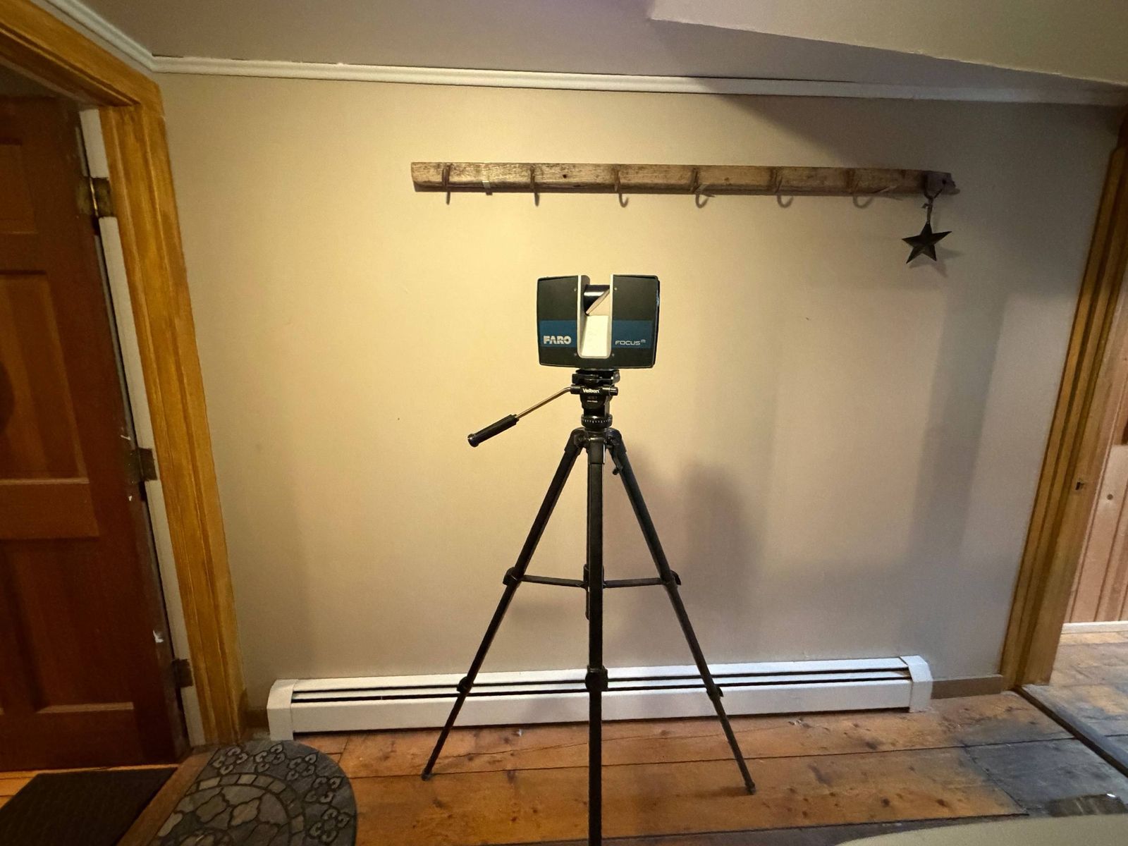
ScanM2 provides 3D laser scanning services in Washington, DC and the surrounding area, including Arlington and Alexandria in Northern Virginia and Bethesda and Silver Spring in Maryland. We capture existing buildings with terrestrial laser scanners and deliver what design teams actually use: a registered point cloud, 2D as-built drawings and Revit models. Architects, engineers, contractors and owners use our scans for rowhouse renovations, historic projects, office conversions and upgrades of institutional buildings.
Contact Us Now for a Free Consultation!
We do not have an office in DC. Our crews travel to sites in the District and in any US state, and the drafting and modeling are done by our own team. If you already have a scan, we can work from your point cloud remotely. For equipment and deliverables in more detail, see our national 3D scanning services page.
What You Get from a 3D Scan
We scan the building from many positions, register all scans into one coordinate system and check the result. Typical accuracy for building scans is within ±2–3 mm. You choose what you need from the data:
| Deliverable | What it is | Typical formats |
|---|---|---|
| Registered point cloud | The building as it is, as millions of measured points | E57, RCP/RCS, LAS, PTS |
| 2D as-built drawings | Floor plans, sections, elevations, reflected ceiling plans | DWG, PDF |
| Revit model | Architecture, structure and MEP at the agreed level of detail | RVT, .ifc |
| Facade drawings | Elevations with openings, cornices and ornament for historic work | DWG, PDF |
| MEP documentation | Ductwork, piping and equipment in plant rooms and ceilings | DWG, RVT |
For permit and design drawings only, see as-built drawings in Washington DC.
Washington, DC Buildings We Scan
- Rowhouses. Rear additions, third-floor additions, basement conversions and full gut renovations of rowhouses on Capitol Hill, in Shaw, Petworth, Columbia Heights and other neighborhoods. Party walls, sloping floors and decades of changes make tape measurements unreliable; a scan captures the house exactly as it is.
- Historic districts and landmarks. Georgetown, Capitol Hill, Dupont Circle, Logan Circle and other historic districts. Accurate plans and facade elevations help architects prepare drawings for review by the DC Historic Preservation Office and the Historic Preservation Review Board, or in Georgetown by the Old Georgetown Board of the Commission of Fine Arts. See also heritage scanning services.
- Offices and office-to-residential conversions. Downtown and NoMa office buildings that are being refitted or converted to apartments need exact floor plates, structure, shafts and MEP before design starts.
- Institutional and government buildings. Universities, museums, embassies, hospitals and government facilities, where work happens in occupied buildings with security and access rules. We plan the site visit around those rules and model to the BIM requirements stated in your contract.
- Multifamily and mixed-use. Apartment buildings and mixed-use projects in the District and nearby Virginia and Maryland, where renovations and repositioning need existing conditions for every unit type.
Scan to BIM in Washington, DC
Many DC projects need a model, not only drawings. We build Revit models from the point cloud: architecture, structure and MEP, at the level of detail agreed in the scope, using your templates and naming standards. Models can be exported to .ifc for teams that work outside Revit. The model shows what is actually there, including sloping floors, out-of-plumb walls and existing services, so design and coordination start from real geometry. Read more about our Scan to BIM services in Washington, DC and point cloud modeling.
- Already have a scan? We accept point clouds from FARO, Leica, Trimble, NavVis and other scanners and model from them remotely.
- Coordinates. We can tie the scan to your project grid or to control provided by your surveyor. Legal boundary and topographic surveys remain the work of a licensed surveyor.
How a Project Works
- Request. Send the address, approximate area, building type and what you need: a point cloud, drawings or a model.
- Scope. We agree on the areas to scan, level of detail, formats, and access or security requirements.
- Site visit. Our crew scans the building with minimal disruption to occupants.
- Registration and check. All scans are joined into one point cloud and checked for accuracy.
- Drafting and modeling. Our team produces drawings and Revit models according to your standards.
- Delivery and revisions. You receive the files in the agreed formats; we answer questions and make corrections.
Why Work with ScanM2
- One team from scanning to drawings and BIM, with no hand-offs between subcontractors.
- Accuracy of ±2–3 mm for building scans, checked during registration.
- Deliverables in your formats and templates: DWG, RVT, .ifc, E57, RCP.
- We travel to sites in DC and any US state, or work from your existing point clouds.
- Projects nearby: 3D scanning in Maryland, Baltimore and Virginia Beach.
FAQ
Do you provide 3D laser scanning in Washington, DC?
How accurate is your 3D scanning?
Can you scan a rowhouse for an addition or renovation?
Can your drawings be used for historic preservation review in DC?
Do you provide Scan to BIM in Washington, DC?
Can you work in occupied or secured buildings?
We already have a point cloud. Can you work with it?
Which formats do you deliver?
Send Us Your Project
Tell us the address, the building type and what you need, and we will propose a scope for your Washington, DC project. Contact us or use the form on this page.

