

Scan to BIM Services in Milwaukee
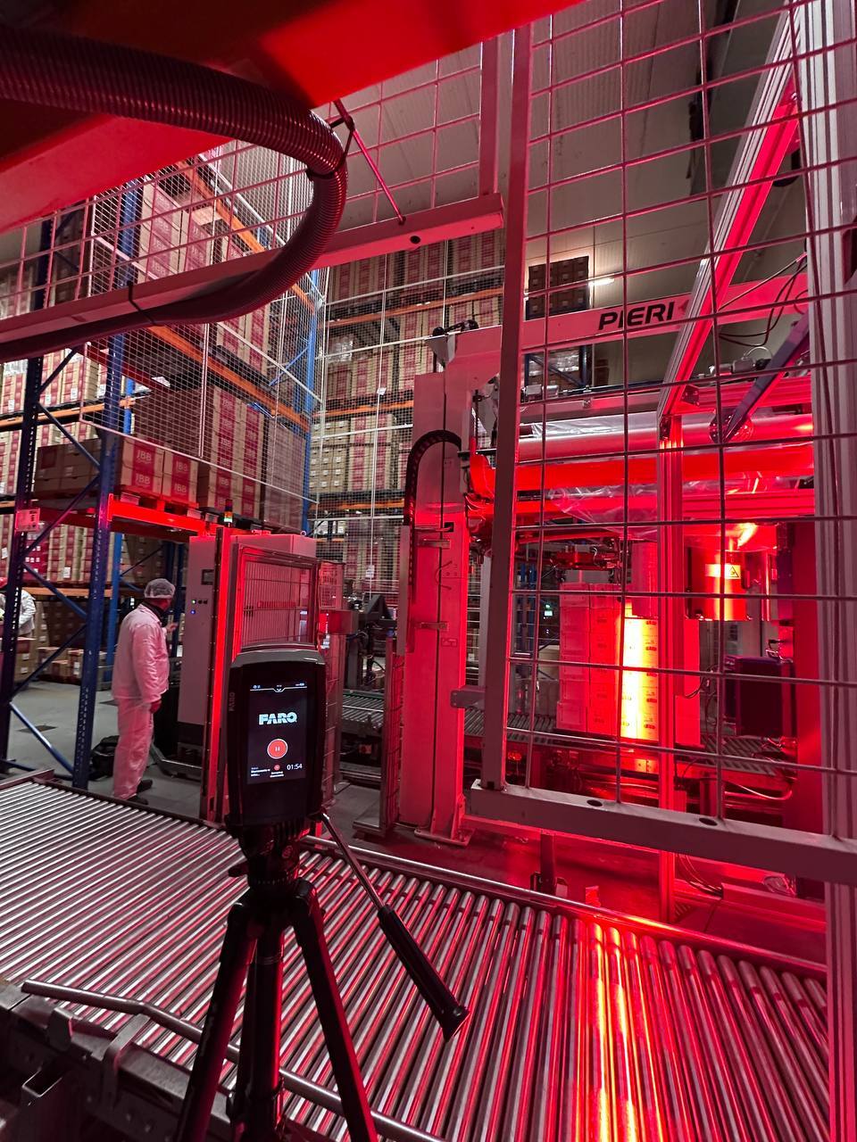
ScanM2 delivers Scan to BIM in Milwaukee: we capture existing buildings with laser scanners and build Revit models that design and construction teams can use right away for renovation, fit-out and coordination.
Contact Us Now for a Free Consultation!
Local Focus: Milwaukee’s Built Environment
Milwaukee’s commercial landscape is defined by its extensive industrial heritage, a strong commitment to waterfront revitalization, and the continuous adaptive reuse of its historic manufacturing infrastructure. Construction and renovation projects across Downtown, the Historic Third Ward, Walker’s Point, and the Menomonee Valley face distinct structural conditions. These frequently involve transforming classic late-19th and early-20th-century Cream City brick warehouses, heavy timber-frame mills, and legacy concrete manufacturing plants into modern creative offices, high-density residential lofts, and contemporary retail spaces. Our team delivers accurate spatial documentation built around these robust regional structural systems, helping Wisconsin firms plan complex structural modifications and interior retrofits while respecting local building footprints and municipal codes.
Where Scan to BIM Is Used in Milwaukee
Having an accurate structural baseline is essential for managing risk in several prominent regional sectors:
- Historic Adaptive Reuse & Commercial Conversions: Documenting existing structural conditions, column placements, and load-bearing masonry walls in older industrial districts like the Historic Third Ward or Walker’s Point to plan modern multi-use transformations.
- Industrial Facility Modernization: Mapping out active manufacturing plants, legacy breweries, and expansive warehouse properties throughout the Menomonee Valley to plan equipment integration, utility rerouting, or structural expansions.
- Institutional & Healthcare Frameworks: Updating digital records and complex mechanical, electrical, and plumbing (MEP) layouts within regional medical complexes, university campuses, and civic facilities to support spatial reconfigurations.
When a project demands comprehensive field documentation before any modeling can begin, our 3D Laser Scanning Services capture the entire site layout to establish a clear baseline for design teams.
Our Clients
In Milwaukee we typically work with architecture and engineering firms, general contractors, real estate developers and facility management teams. What they have in common: they need to know exactly what is built before they change it.
Instead of repeated site visits with tape measures, they get one complete scan and a model that the whole team can work from.
What Clients Receive
- Revit models from scan data – architectural, structural or MEP, based on project scope.
- Structured building information – parametric components organized by standard classification systems.
- Coordination-ready files – models prepared for spatial coordination and clash detection.
- True existing conditions – models that show real deviations, out-of-plumb walls and floor levels.
If 2D documentation is preferred, alone or alongside the model, we also provide detailed As-Built Drawings for permitting, design and property records.
Benefits for Your Project
- Fewer surprises – existing conditions are known before design starts.
- Better coordination – MEP and structural conflicts are found in the model, not on site.
- Faster planning – one scan replaces many site visits.
- Reliable records – the model stays useful for operations and future projects.
Behind these benefits are two steps: Point Cloud Services that prepare the data, and BIM modelling that turns it into a usable model. Together they make Scan to BIM a dependable basis for decisions in Milwaukee.
FAQ
How long does it take to complete a Scan to BIM project for a property in Columbus?
Do I receive the point cloud as well?
Can the model be used for clash detection?
Start Your Scan to BIM Project in Milwaukee
Tell us about the building and the result you need. We will suggest the right scope and level of detail and prepare a quote for your project in Milwaukee.

