Maksim Sauchuk
Leads EU operations, manages field teams, and coordinates surveying, scanning, and architecture workflows.

Maksim Sauchuk is a field operations and project coordination specialist at SCANM2, leading surveying, scanning, and site documentation workflows across European projects. As Head of the EU Branch and Field Operations Lead, he manages on-site teams, oversees data capture quality, and ensures that fieldwork is translated into reliable deliverables for design, renovation, and engineering tasks.
His work is focused on bridging site conditions with digital project environments. Maksim is involved in the coordination of 3D laser scanning campaigns, existing conditions documentation, and the preparation of accurate source data for architectural, BIM, and as-built workflows. He works closely with surveyors, modelers, and project teams to ensure that collected site information is complete, consistent, and ready for further technical use.
With hands-on involvement in real building surveys and renovation-related documentation, Maksim contributes practical expertise to projects involving residential, commercial, and complex existing structures. His responsibilities include organizing field operations, aligning scanning strategy with project scope, controlling documentation quality, and supporting the integration of captured data into downstream architectural and engineering processes.
At ScanM2, Maksim helps ensure that field data serves not just as a record of existing conditions, but as a dependable foundation for planning, design development, coordination, and reconstruction. His experience in operational management and architecture-related workflows makes him a key contributor to projects where accuracy, clarity, and technical consistency are critical.
Most Recent Articles
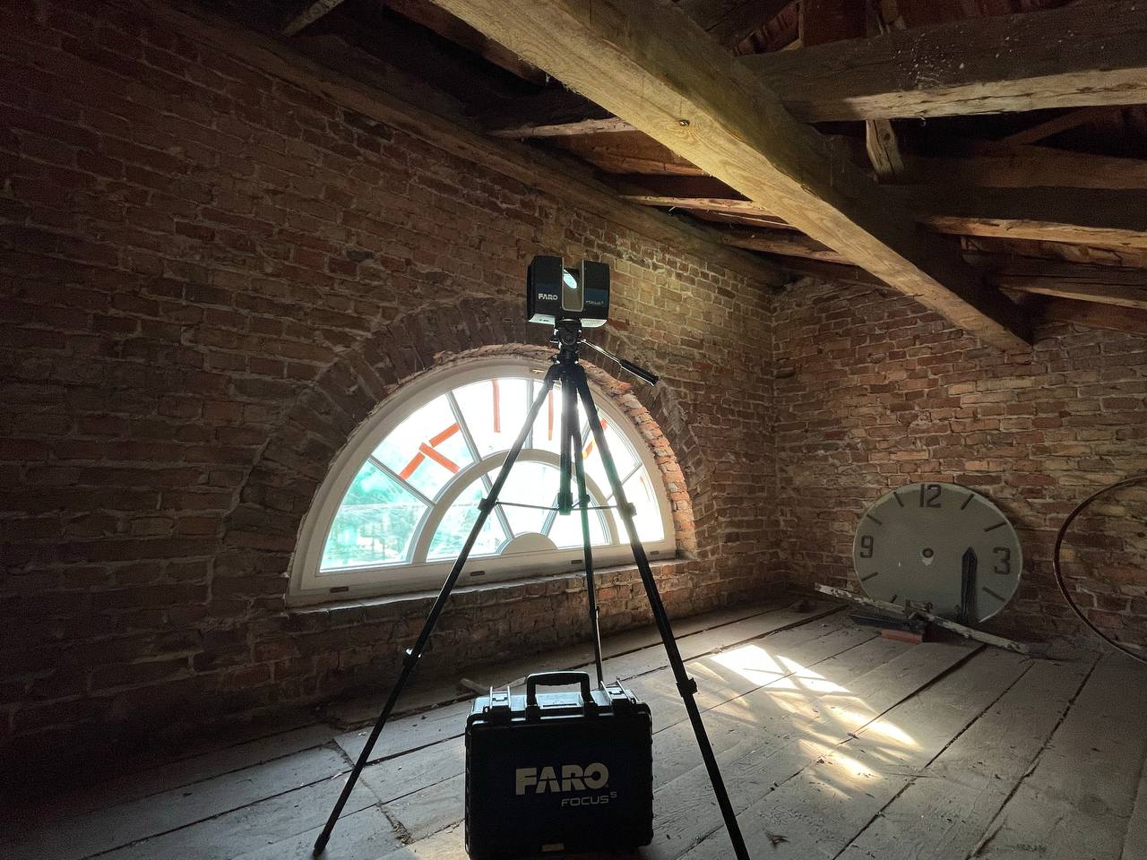
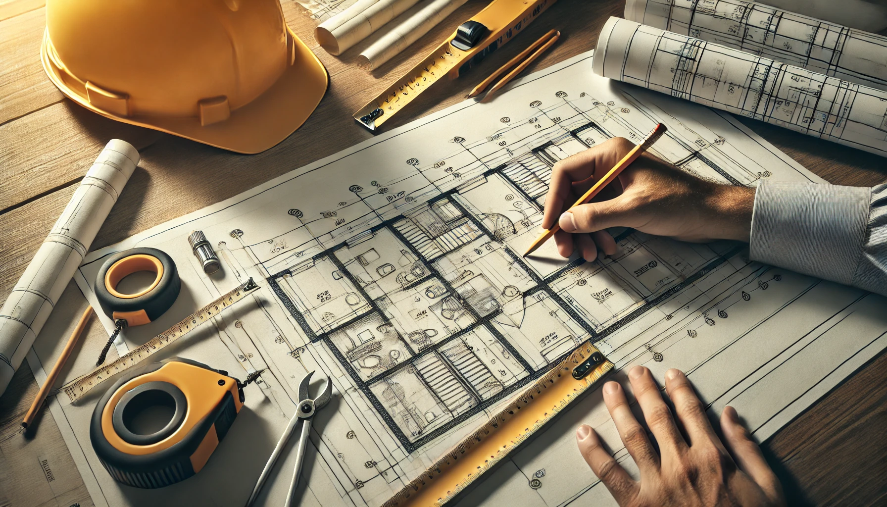
3D Laser Scanning for Building Renovation: What Should Be Captured Before Design Starts?

How 3D Laser Scanning Measures Floor Flatness and Levelness

How Existing Building Documentation Is Created Using 3D Laser Scanning

Digital Twin vs BIM: What's the Difference?

Why Old Building Drawings Fail During Renovation Projects

How Existing Building Documentation Is Created from Laser Scanning
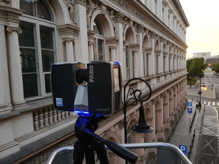
Architectural Documentation of Heritage Buildings with 3D Laser Scanning

How Point Clouds Are Used in Architecture

BIM Model Audit: What to Check

When Do You Need 3D Building Scanning in Construction Projects? Use Cases & Benefits

How Point Cloud Registration Works

Accurate As-Built Data in Construction: Why It Matters

Structural Design of Buildings Under Real Project Constraints

Using Drones and Laser Scanning for As‑Built Surveys

Digital Twin in Construction – The Future of Building Industry

Precision Measurement for Facade Glazing Replacement

Benefits of As-Built Documentation for Realtors and Buyers

Can LiDAR See Through Ground or Walls? A Reliable Analysis of the Capabilities and Limitations of LiDAR Technology

High-Accuracy 3D Laser Scanning of Houses for Property Evaluation

Leica 3D Scanners – Precision and Reliability in Spatial Measurements

Clash Detection in Revit: Enhancing Accuracy in 3D Laser Scanning and BIM Modeling
What Is BIM in Architecture?

Reverse Engineering in the Automotive Industry: From a Classic Corvette to Electric Buses

Scan to BIM in the United States – Practical Applications, Value, and Adoption Challenges

Stages of the Reverse Engineering Process – from 3D Scanning to Final Product

How to Create a CAD Model from a 3D Scan?

What is Reverse Engineering and How Does It Support Production?

Why Every Realtor Should Offer 3D Home Scans to Buyers and Sellers
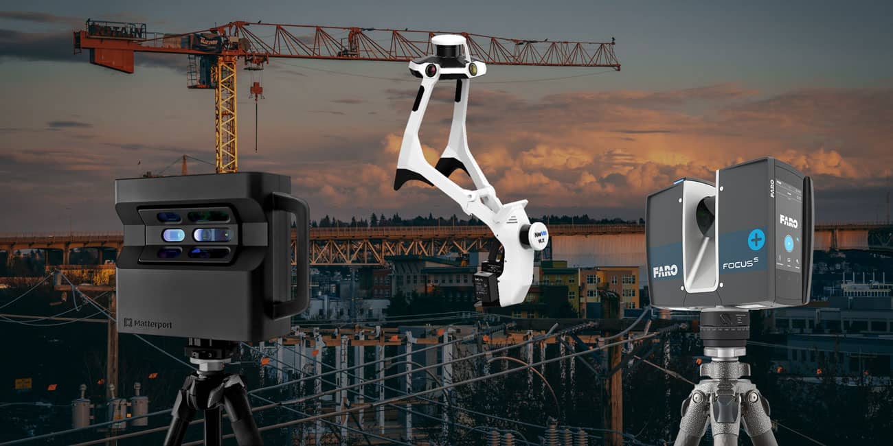
TLS, LiDAR, and Photogrammetry: Which 3D Scanning Technology Is Right for Your Project?
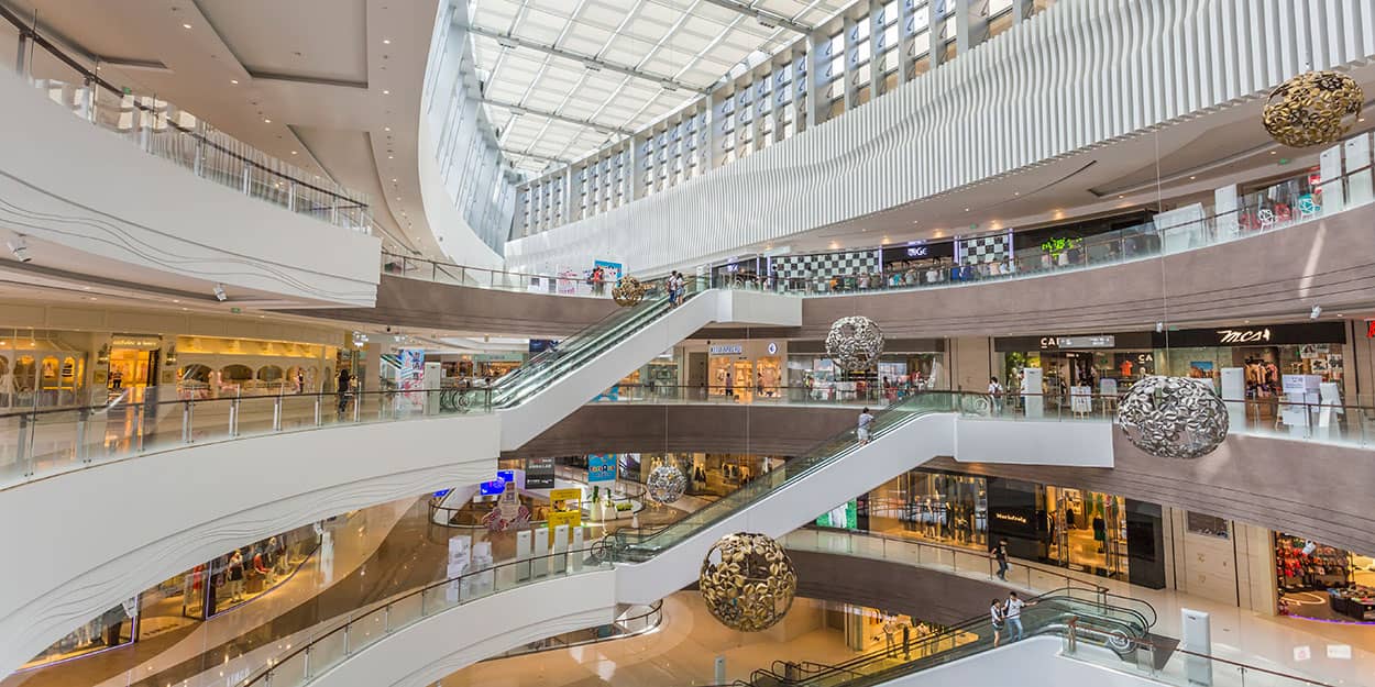
How Laser 3D Scanning Supports Efficient Mall Design
How 3D Laser Scanning Improves Land Surveying and Site Analysis
Streamlining Engineering Projects with Detailed As-Built Drawings
5 Ways Accurate Floor Plans Can Improve Interior Design

LiDAR Scanning in BIM Modeling: Transforming Modern Architecture and Construction
Laser 3D Scanning vs. Traditional Measuring Tools
How Laser Scanning Is Revolutionizing Roof Inspections: A Comprehensive Guide
3D Models for Structural Damage Analysis in Building Inspections
Precision in Building Inspections with As-Built Drawings
How LiDAR Assists in Designing Shopping Malls

How As-Built Services Simplify Interactions with Insurance Companies
Why Are As-Built Services Essential After a Fire?
Future-Proofing Your Architecture Projects with Laser Scanning

Facade Restoration with 3D Models: Transforming the Way We Preserve Buildings

When Should You Upgrade from Manual Measurements to 3D Scanning?

How Real Estate Agents Use As-Built Models for Virtual Tours

The Importance of As-Built Drawings for Contractors
Outsourcing As-Built Documentation: A Builder's Ultimate Solution for Efficiency and Accuracy

What Does As-Built Mean in Construction? A Comprehensive Guide to Its Meaning and Importance

How 3D Scanning Makes Kitchen Renovation Easier and Better

How 3D Scanning Makes Home Inspections Smarter and More Accurate

How 3D Scanning Recreated a Lost Temple Relief from a Single Photo
Restoring Buildings After Natural Disasters Using 3D Laser Scanning
5 Ways 3D Laser Scanning Can Benefit Your Business

InterGeo 2024 in Stuttgart: Insights from ScanM2’s Leadership

Revolutionizing Landscape Architecture with 3D Laser Scanning