

Laser Scanning Workflow from Site to Point Cloud
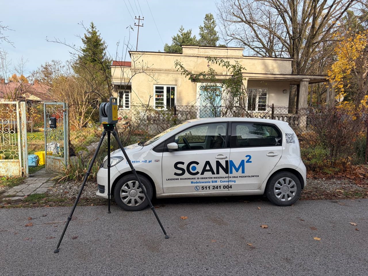

The laser scanning workflow is a structured and highly technical process that transforms raw field measurements into a precise digital model. A well-executed 3D laser scanning workflow ensures millimeter accuracy, reliable georeferencing, and a structured dataset ready for engineering, BIM, or design applications. Understanding the complete laser scanning process from site to point cloud — including the point cloud generation process within a terrestrial laser scanning workflow — is essential for achieving consistent, high-quality results.
Pre-Scan Planning and Site Preparation
A successful terrestrial laser scanning workflow begins long before equipment is deployed. Proper planning directly affects scan overlap, error margins, and overall quality control.
Key Steps in Pre-Scan Planning
- Define project scope and required accuracy
- Establish coordinate system setup
- Identify control points in laser scanning
- Plan scan station setup positions
- Determine scan overlap requirements
The coordinate system setup is critical for ensuring accurate georeferencing. Survey-grade control points in laser scanning are typically established using total stations or GNSS systems to maintain millimeter accuracy across large areas.
Target placement strategy is also determined at this stage. For target-based registration, reflective or spherical targets must be visible from multiple scan positions to enable accurate scan alignment later.
Careful planning reduces registration errors and simplifies the entire scan-to-cloud workflow.
Field Data Acquisition
The field scanning procedure is where site data acquisition begins. Each scan station setup must ensure sufficient scan overlap with adjacent positions to allow seamless registration.

Core Elements of Site Data Acquisition
- Stable tripod positioning
- Leveling and calibration of the scanner
- Capturing high-resolution scans
- Recording metadata and environmental conditions
- Verifying visibility of control targets
The scanner captures millions of points per second, generating a raw dataset that represents surfaces and structures. Adequate overlap (typically 20–40%) between scans ensures reliable cloud-to-cloud registration if target-based registration is not used.
Throughout site data acquisition, technicians perform real-time quality control checks to minimize blind spots and confirm coverage.
Scan Registration and Alignment
After fieldwork, the workflow transitions into laser scan data processing. The first major step is point cloud registration, where individual scans are combined into a unified coordinate framework.

Registration Methods
| Method | Description | Advantages | Use Case |
| Target-Based Registration | Uses physical targets captured in multiple scans | High precision, controlled alignment | Industrial & high-accuracy projects |
| Cloud-to-Cloud Registration | Uses geometric surface matching | Faster, fewer targets required | Complex environments |
| Hybrid Approach | Combines both methods | Improved reliability | Large-scale infrastructure |
Scan alignment ensures that overlapping areas match within acceptable error margins. Software calculates residual errors and reports deviation values for quality control.
When required, the dataset undergoes georeferencing, linking the project to real-world coordinates. This step is essential for infrastructure, construction, and urban planning projects.
Data validation is performed to confirm alignment accuracy and consistency across the entire structured dataset.
Point Cloud Cleaning and Validation
Once scans are aligned, the point cloud generation process continues with cleaning and optimization.
Cleaning Process Includes:
- Noise filtering in point cloud
- Removing stray reflections and moving objects
- Eliminating duplicate or misaligned points
- Reducing unnecessary density
Noise filtering in point cloud processing improves clarity and reduces file size while maintaining millimeter accuracy.
After cleaning, a second round of quality control and data validation ensures that:
- Error margins remain within project tolerance
- No gaps compromise deliverables
- The dataset meets required standards
A properly validated structured dataset is now ready for engineering applications.
Delivering Structured Data for Design
The final stage of the scan-to-cloud workflow converts the processed data into usable deliverables.
Common outputs include:
- Registered point cloud files (E57, RCP, LAS)
- Georeferenced datasets
- BIM-ready models
- CAD drawings
- Mesh models

The completed 3D laser scanning workflow results in a highly accurate digital representation of the physical environment. When executed correctly — from site data acquisition through scan alignment, data validation, and structured dataset delivery — the laser scanning workflow ensures reliable, precise information for design, renovation, analysis, and construction.
Conclusion
The laser scanning process from site to point cloud is not simply about capturing data — it is about managing precision at every stage. From coordinate system setup and control points in laser scanning to scan overlap management and cloud-to-cloud registration, each step contributes to overall data integrity.
A well-structured terrestrial laser scanning workflow guarantees millimeter accuracy, controlled error margins, and dependable results — transforming raw field measurements into actionable digital intelligence.
FAQ – Laser Scanning Workflow from Site to Point Cloud
What is a laser scanning workflow?
What is included in a 3D laser scanning workflow?
How does the laser scanning process from site to point cloud work?
What is point cloud registration?
Why is scan overlap important?
What is georeferencing in terrestrial laser scanning workflow?

ScanM2 Launches ScanTrack: Manage Tasks Directly in a 3D Virtual Tour
18.10.2026
How integrating as-built documentation using advanced 3D scanning and laser scanning technology can revolutionize your real estate marketing strategy. Learn the benefits for agents and ...

Which 3D Laser Scanner Should Architects Choose, and When Is Outsourcing Better?
17.10.2026
How integrating as-built documentation using advanced 3D scanning and laser scanning technology can revolutionize your real estate marketing strategy. Learn the benefits for agents and ...

3D Laser Scanning for Building Renovation: What Should Be Captured Before Design Starts?
05.10.2026
Renovation projects rarely begin with a completely reliable picture of the existing building. Original drawings may be incomplete or outdated, previous modifications may not have ...

3D Laser Scanning Accuracy: What Level of Accuracy Does Your Project Need?
02.10.2026
3D laser scanning can capture millions of measurements across a building, industrial facility, or individual piece of equipment. But a large number of points does ...

