

Point Cloud Processing for Historical buildings
Historic buildings generate large and highly detailed point cloud datasets that require professional processing before they can be used for restoration, BIM modeling, or engineering documentation. Accurate registration, cleaning, and optimization ensure that every architectural feature is preserved while creating reliable data for design and conservation teams.
At ScanM2, we provide professional Point Cloud Processing Services for Historical Buildings, transforming raw laser scan data into accurate, organized, and project-ready point clouds. Our specialists prepare scan data for architects, engineers, conservation experts, and BIM professionals working on complex heritage projects.
Whether documenting museums, historic residences, castles, palaces, industrial heritage sites, or protected public buildings, we deliver high-quality point cloud datasets ready for the next stage of the project.
Contact Us Now for a Free Consultation!
Why Historical Buildings Require Point Cloud Processing
Historical buildings often feature complex architectural geometry, decorative elements, irregular structures, and confined spaces that generate massive amounts of scan data.
Every project begins with our 3D Laser Scanning Services for Historical Buildings, producing high-density point clouds that accurately capture existing conditions. Before this information can be used for design or restoration, the data must be professionally processed to eliminate errors and ensure maximum accuracy.
Proper point cloud processing creates a reliable digital foundation for restoration planning, engineering analysis, and long-term heritage documentation.
Challenges of Processing Heritage Scan Data
Processing scan data from historical buildings presents unique technical challenges.
Common challenges include:
- thousands of individual scan positions
- complex architectural geometry
- decorative façades and ornamental details
- irregular walls and structural deformation
- overlapping scan datasets
- inaccessible spaces
- large file sizes
- maintaining maximum geometric accuracy
Our workflow preserves every important architectural feature while producing efficient and organized datasets for downstream applications.
Our Point Cloud Processing Workflow
Every project follows a structured quality-controlled workflow.
1. Data Collection
High-density laser scan data is collected from multiple scan positions throughout the building.
2. Registration and Alignment
Individual scans are accurately registered and aligned into a unified coordinate system, creating a complete representation of the building.
3. Cleaning and Optimization
Noise, duplicate points, unwanted objects, and scanning artifacts are removed while preserving the architectural integrity of the dataset.
4. Classification and Quality Control
The processed point cloud is reviewed for completeness, accuracy, and consistency before delivery.
5. Project Delivery
The final point cloud is delivered in industry-standard formats ready for Scan to BIM Services for Historical Buildings, engineering analysis, restoration planning, or other project-specific applications. Depending on project requirements, the processed dataset can also support BIM Modeling Services for Historical Buildings and the preparation of As-Built Drawings Services for Historical Buildings.
Project Example: National Museum of Ethnography
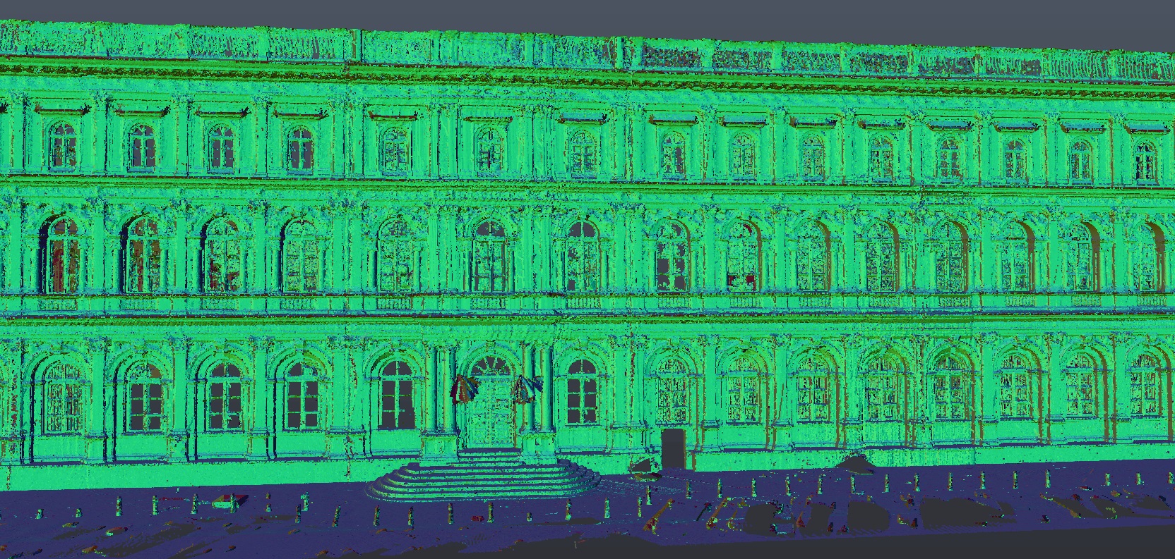
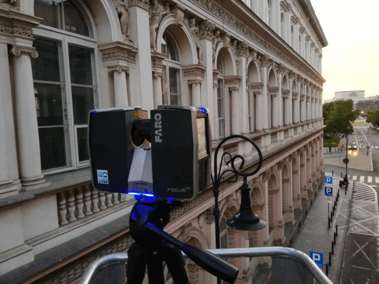
As part of the restoration of the National Museum of Ethnography, ScanM2 processed a large-scale point cloud captured through high-precision terrestrial laser scanning to support BIM modeling and heritage documentation.
The project involved registering and aligning multiple scan positions, removing noise, optimizing datasets, and creating a unified, high-density point cloud that accurately represented the museum’s architectural geometry. Special attention was given to preserving intricate historical features, including façades, roof structures, stained-glass windows, and ornamental details.
The processed point cloud served as the foundation for developing an accurate BIM model and extracting detailed floor plans, elevations, and sections. By delivering a clean and reliable dataset, the project team streamlined restoration planning, improved interdisciplinary coordination, and significantly reduced manual modeling time.
Gallery of Historical Building Point Cloud Processing Projects
Explore examples of processed point cloud datasets for historical buildings, demonstrating how raw laser scan data is transformed into accurate, optimized models ready for BIM development, CAD documentation, restoration, and heritage conservation.
National Museum of Ethnography Project Example




Point Cloud Deliverables
Depending on project requirements, we deliver:
- registered point clouds
- cleaned and optimized datasets
- colorized point clouds
- segmented point clouds
- classified scan data
- unified coordinate systems
- scan quality reports
- project-ready datasets
- industry-standard file formats
- data prepared for BIM and CAD workflows
Applications of Point Cloud Processing
Processed point cloud data supports numerous heritage projects, including:
- restoration planning
- heritage conservation
- BIM development
- CAD documentation
- structural analysis
- architectural design
- facility management
- digital twin development
- construction coordination
- long-term digital archives
For restoration projects involving damaged or missing architectural features, our Reverse Engineering Services for Historical Buildings use processed point cloud data to accurately reconstruct complex historical geometry.
Why Choose ScanM2
ScanM2 delivers professionally processed point cloud datasets for complex heritage projects worldwide.
Our clients benefit from:
- highly accurate scan registration
- optimized datasets with minimal noise
- preservation of fine architectural details
- experienced point cloud specialists
- compatibility with leading BIM and CAD platforms
- rigorous quality control procedures
- fast project turnaround
- international experience with heritage documentation

