

3D Laser Scanning for Office buildings
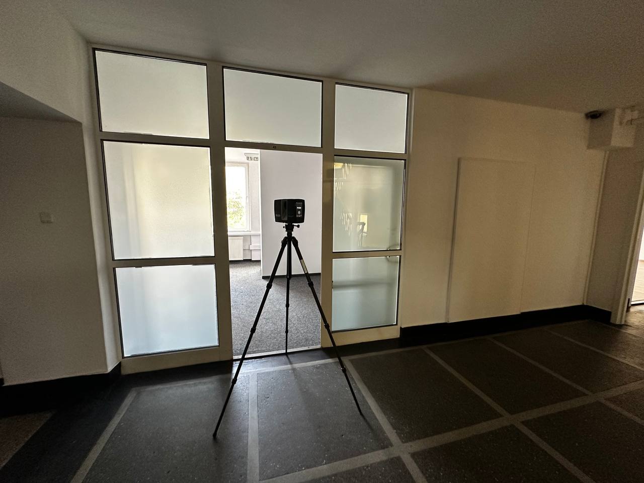
Office renovation, tenant improvement, façade restoration, and building modernization projects depend on accurate information about existing conditions. When original drawings are outdated or incomplete, even small dimensional discrepancies can create problems during design, coordination, and construction.
ScanM2 provides 3D Laser Scanning Services for Office Buildings, capturing existing architectural and structural conditions with high accuracy. Laser scanning creates a detailed digital record that can support renovation, space planning, façade work, BIM modeling, as-built documentation, and engineering coordination.
We can survey complete office buildings or specific areas, including façades, roofs, office floors, common spaces, technical areas, and other accessible building elements required for the project.
Contact Us Now for a Free Consultation!
Why 3D Laser Scanning Is Used for Office Buildings
Office buildings often undergo multiple renovations during their lifecycle. Tenant layouts change, partitions are relocated, building systems are upgraded, façades are repaired, and interior spaces are adapted to new workplace requirements.
As a result, existing drawings may no longer represent actual site conditions. Traditional field measurements can also become inefficient when a project involves several floors, complex façades, irregular geometry, or large quantities of architectural details.
3D laser scanning captures dense spatial measurements across visible surfaces and creates a measurable point cloud of the surveyed environment. Architects and engineers can then use this dataset as a reliable geometric reference throughout the project.
What We Can Capture in an Office Building
The scanning scope is defined according to the planned renovation, documentation, or engineering work and may include:
- Exterior façades and architectural details
- Roof geometry and rooftop structures
- Office floor layouts
- Walls, columns, openings, and structural elements
- Elevator and stair cores
- Corridors, lobbies, and common areas
- Ceiling geometry and accessible above-ceiling conditions
- Visible HVAC, electrical, and plumbing systems where required
- Technical and service spaces
- Existing conditions relevant to tenant improvements
Office Renovation and Tenant Improvement Projects
Existing office spaces are frequently reconfigured for new tenants or changing workplace requirements. A project may involve new partitions, meeting rooms, work areas, ceilings, equipment, finishes, and modifications to building services.
Laser scanning provides the design team with current geometric information before new layouts are developed. Instead of relying entirely on archived plans and isolated manual measurements, designers can reference a measurable digital dataset representing the surveyed conditions.
When the project requires a structured digital representation rather than only survey data, the resulting point cloud can become the source for our Scan to BIM Services for Office Buildings.
3D Scanning for Office Façade Renovation
Office building façades can contain repetitive systems as well as complex architectural details, setbacks, decorative elements, openings, and irregular conditions created by previous modifications or deterioration.
Terrestrial laser scanning allows large exterior surfaces to be documented from multiple positions without relying on individual manual measurements for every façade element. The resulting dataset can support elevation drawings, dimensional analysis, architectural redesign, restoration planning, and development of existing-condition models.
Roof geometry can also be included when it is relevant to the project, providing a more complete record of the building envelope.
Our Office Building Laser Scanning Workflow
1. Project Scope and Survey Planning
We identify the areas to be surveyed, required accuracy, final deliverables, site access conditions, and how the resulting data will be used by the project team.
2. On-Site 3D Laser Scanning
Laser scanners are positioned throughout the required areas to capture the visible geometry from multiple locations. The number and placement of scan positions depend on the building layout and required coverage.
3. Point Cloud Registration
Individual scans are aligned into a common coordinate environment to create a unified digital representation of the surveyed building.
For projects involving existing scan datasets or large quantities of reality-capture data, our Point Cloud Processing Services for Office Buildings can include registration, cleaning, organization, optimization, and preparation for downstream use.
4. Quality Control
The registered dataset is reviewed for alignment, coverage, and consistency with the agreed survey scope before documentation or modeling begins.
5. Documentation and Modeling
Depending on project requirements, the point cloud can be delivered directly or used to create drawings, elevations, sections, and 3D building models.
Real Project: 3D Laser Scanning of an Office Building in Wilmington, Delaware
ScanM2 completed a 3D laser scanning and as-built survey project for a five-story office building at 900 N King Street in Wilmington, Delaware. The survey was commissioned to support architectural redesign, façade repair, and restoration planning.
The project covered approximately 33,690 sq ft of façade area. Our team scanned the building façades and roof, documenting architectural geometry and areas relevant to the planned restoration work.
The survey achieved a scanning precision of approximately 3 mm, providing the architectural team with detailed existing-condition information for subsequent design and documentation.
Process & Results of 3D scanning office


The resulting high-density point cloud became the basis for additional project deliverables, including 2D plans and elevations, as-built documentation, and a detailed 3D model. The model was developed to LOD 200 and delivered in multiple formats, including SketchUp.
This workflow allowed the architectural team to work from measured building geometry rather than relying solely on existing drawings or manual site measurements.
From Laser Scanning to Office Building Documentation
A point cloud preserves considerably more spatial information than a limited set of individual field dimensions. Once the survey is complete, the same dataset can support several different project outputs without repeating the entire measurement process.
For renovation projects requiring conventional CAD documentation, our As-Built Drawings Services for Office Buildings can convert measured conditions into floor plans, elevations, sections, and other required drawings.
For projects requiring a structured three-dimensional representation, our BIM Modeling Services for Office Buildings can provide models tailored to architectural, engineering, renovation, and coordination requirements.
Applications of 3D Laser Scanning for Office Buildings
- Office renovation and modernization
- Tenant improvement projects
- Workplace reconfiguration
- Façade renovation and restoration
- Existing-condition documentation
- Scan to BIM and BIM modeling
- MEP coordination
- Space planning
- Building extension and redevelopment
- Facility documentation
Office Building 3D Scanning Deliverables
Deliverables depend on the survey scope and intended use of the data and may include:
- Registered point cloud
- Colorized point cloud where required
- 2D floor plans
- Exterior and interior elevations
- Building sections
- As-built documentation
- 3D building models
- Data prepared for CAD and BIM workflows
- RCP / RCS / E57 or other agreed point cloud formats
Why Choose ScanM2 for Office Building Laser Scanning
Office building projects often combine architectural, structural, interior, and building-services requirements within the same existing property. Reliable survey data helps these disciplines work from a common geometric reference.
ScanM2 combines field scanning, point cloud processing, CAD drafting, and 3D modeling within one workflow. This allows the survey data to be developed into the specific documentation required for renovation, tenant improvements, façade work, or building modernization.
Our Wilmington office building project demonstrates this approach on a real five-story property, where a 3 mm precision survey was transformed into point cloud data, drawings, as-built documentation, and a detailed 3D model.

