

3D Laser Scanning for Warehouses
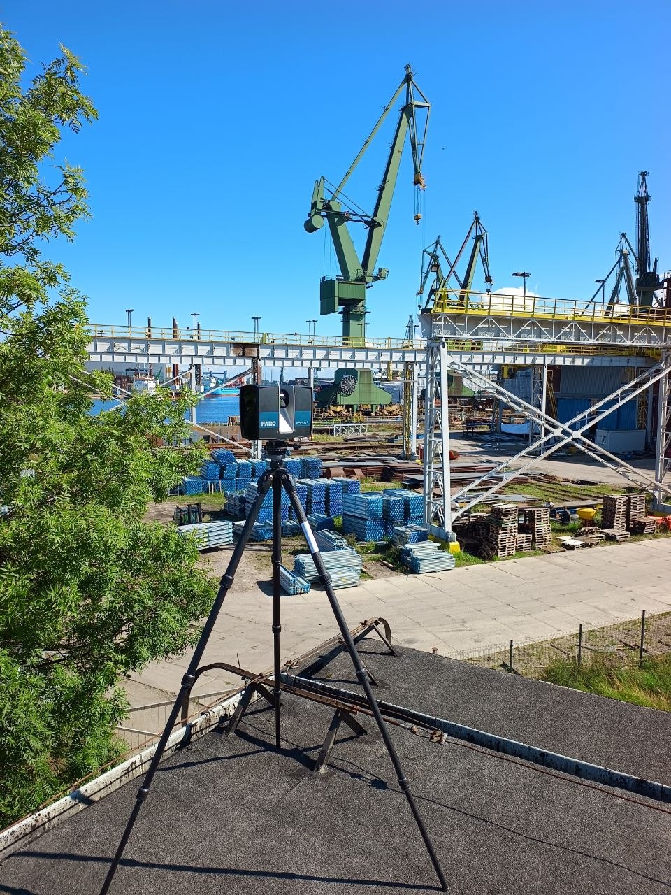
Warehouses and distribution facilities are large, geometry-intensive environments where accurate existing-condition data is essential for renovation, expansion, equipment installation, racking changes, and facility planning. Traditional measurements can become inefficient when a project involves thousands of square feet, high ceilings, structural grids, loading areas, and dense building systems.
ScanM2 provides 3D Laser Scanning Services for Warehouses to capture existing buildings quickly and accurately. Laser scanning creates a detailed point cloud that can be used for as-built documentation, Scan to BIM, BIM modeling, layout planning, and coordination of new equipment with existing conditions.
Contact Us Now for a Free Consultation!
Why Use 3D Laser Scanning for Warehouses?
Warehouse projects often require reliable measurements across large spaces with repetitive structural elements and significant vertical geometry. Columns, beams, roof structures, loading docks, floor levels, walls, openings, technical systems, and installed equipment can all affect a renovation or new layout.
3D laser scanning captures these conditions as a dense spatial dataset rather than a limited collection of individual measurements. The resulting point cloud provides a measurable digital representation of the surveyed facility and can be reused throughout design and planning.
What We Capture in Warehouse Facilities
The scanning scope is adapted to the project. Depending on the required deliverables and planned work, the survey can include the complete warehouse or selected operational areas.
- Exterior and interior walls
- Columns, beams, and visible structural elements
- Floor and roof geometry
- Ceiling and overhead structures
- Doors, gates, and openings
- Loading docks and receiving areas
- Stairs, platforms, and mezzanines
- Racking systems where included in scope
- Visible HVAC, piping, electrical, and fire protection systems
- Installed equipment and surrounding clearance zones
Laser Scanning for Warehouse Renovation and Expansion
Warehouse renovation often begins with documentation that does not fully represent current conditions. Previous modifications, equipment installations, structural changes, or operational adjustments may not appear in the original drawings.
A laser scan provides current measured geometry before new design work begins. Architects and engineers can use the resulting data to evaluate existing dimensions, structural locations, clearances, openings, roof geometry, and other conditions that may influence the proposed renovation.
The same approach is useful for warehouse expansions, where new construction must connect accurately to an existing facility. Capturing the interface between existing and proposed areas can help reduce uncertainty during design and coordination.
3D Scanning for Warehouse Layout Changes
Changes to warehouse operations can require new racking configurations, picking areas, storage zones, circulation routes, workstations, conveyors, or other equipment. Each new element must fit around the existing building geometry and maintain the required operational clearances.
Laser scan data gives planners and designers a measurable digital reference for the current facility. Existing columns, walls, doors, loading areas, structural elements, and installed systems can be considered before a new layout is finalized.
Scanning High Ceilings and Overhead Building Systems
One of the challenges of documenting warehouses is the amount of important geometry located above floor level. Roof structures, beams, trusses, ducts, pipes, cable routes, sprinkler systems, lighting, and other overhead elements may affect equipment installation or building modifications.
Terrestrial laser scanning captures visible overhead geometry from multiple positions without requiring every element to be measured manually. This provides project teams with a more complete spatial record of accessible and visible conditions within the surveyed area.
Warehouse Scanning for Equipment Installation
Installing new conveyors, automated storage systems, material-handling equipment, production equipment, or other large systems requires an accurate understanding of the available space.
Existing columns, structural members, floor conditions, overhead systems, doors, platforms, and adjacent equipment can create constraints that must be considered during layout development. A point cloud allows designers to work with measured existing geometry when planning new installations.
3D Laser Scanning for Loading Docks and Logistics Areas
Loading docks connect warehouse operations with external logistics infrastructure and often contain multiple geometric constraints. Dock elevations, door openings, platforms, ramps, structural elements, canopies, and adjacent circulation areas may all be relevant to renovation or equipment replacement.
Laser scanning can document these areas together with the surrounding building geometry, providing measured information for redesign, modification, and coordination.
Scanning Warehouses While Facilities Remain Operational
Many warehouse projects must be surveyed without shutting down the entire facility. Storage, receiving, shipping, and material movement may continue while existing conditions are being documented.
Laser scanning allows large amounts of visible geometry to be captured from defined scanner positions without measuring every building element individually. Survey planning can be coordinated around access restrictions and active operational zones to reduce interference with normal facility activity.
Our Warehouse 3D Laser Scanning Workflow
1. Define the Survey Scope
We identify the areas to be scanned, the required accuracy and level of coverage, project objectives, access conditions, and expected final deliverables.
2. Plan Scanner Positions
Scan positions are planned to provide sufficient coverage of the required warehouse geometry while considering racking, equipment, stored materials, structural elements, and operational restrictions.
3. Capture Existing Conditions
The facility is scanned from multiple positions to capture the visible geometry required for the project, including floor-level and overhead conditions.
4. Register the Scan Data
Individual scans are aligned into a coordinated point cloud representing the surveyed warehouse or selected project area.
5. Quality Control
The registered dataset is reviewed for alignment, coverage, and consistency before it is prepared for final use.
6. Prepare Project Deliverables
Depending on the project, the scan data can be delivered as a processed point cloud or used to create CAD drawings, as-built documentation, or BIM models.
From Warehouse Laser Scanning to Point Cloud
After field capture, individual scan positions are registered into a common coordinate system. The resulting point cloud provides a measurable digital representation of the surveyed warehouse and can be prepared for use in CAD and BIM software.
Our Point Cloud Processing Services for Warehouses include registration, cleaning, organization, and preparation of laser scan data for subsequent project workflows.
From Warehouse Point Cloud to BIM
When a structured digital building model is required, the registered point cloud can serve as the geometric reference for creating architectural, structural, and required building-service elements.
Our Scan to BIM Services for Warehouses transform measured scan data into coordinated building models for renovation, expansion, equipment planning, and facility documentation.
From Warehouse Scanning to As-Built Drawings
Not every warehouse project requires a complete BIM model. When the primary requirement is measured documentation, point cloud data can be used to produce floor plans, elevations, sections, roof plans, and other drawings representing current conditions.
For these projects, our As-Built Drawings Services for Warehouses provide project-ready documentation based on measured existing geometry.
Applications of Warehouse 3D Laser Scanning
- Warehouse renovation and modernization
- Building expansion
- Racking layout changes
- Equipment installation and replacement
- Conveyor and material-handling system planning
- Loading dock modification
- As-built documentation
- Scan to BIM and BIM modeling
- Existing-condition verification
- Facility planning and coordination
Warehouse Laser Scanning Deliverables
Depending on the scope of work, project deliverables may include:
- Registered point cloud
- Cleaned and organized scan data
- Point cloud files for CAD and BIM workflows
- As-built floor plans
- Elevations and sections
- Existing-condition BIM models
- Other project-specific digital documentation
Why Choose ScanM2 for Warehouse Laser Scanning
Warehouse surveys require more than capturing an empty building shell. Existing storage systems, equipment, high structural elements, loading areas, restricted access, and active operations can all influence how fieldwork should be planned and how the resulting data will be used.
ScanM2 combines 3D laser scanning, point cloud processing, CAD documentation, and BIM modeling within a coordinated workflow. This allows the survey to be planned around the final project requirements and the captured data to continue directly into documentation, modeling, renovation, or equipment-planning workflows.

