

Point Cloud Processing for Warehouses
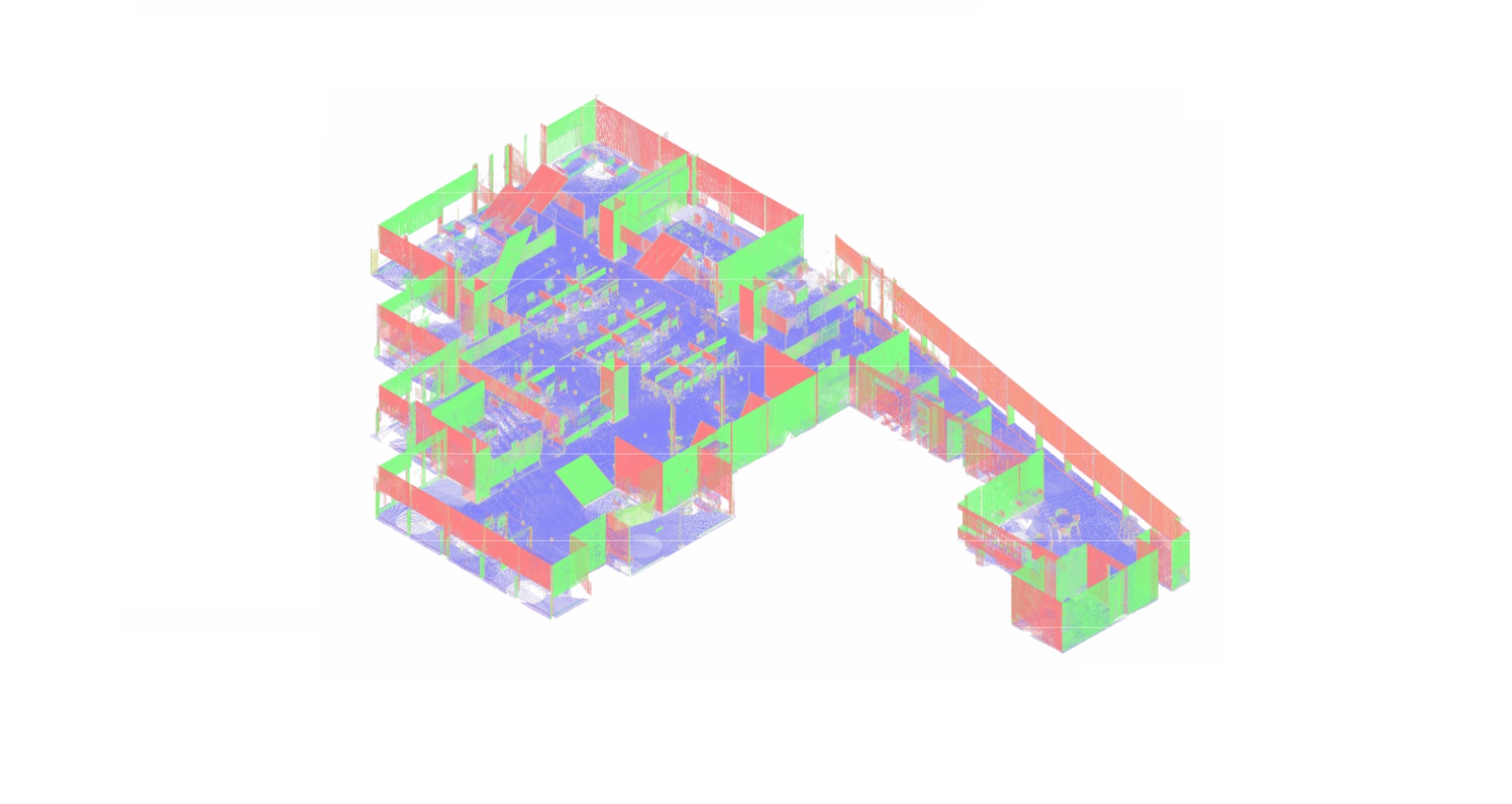
Scanning a warehouse is only the first stage of creating usable spatial data. A large facility may produce millions or billions of measured points collected from many scan positions across storage aisles, loading zones, technical areas, mezzanines, and high-bay spaces. Before this information can be used by architects, engineers, or facility teams, the individual scans must be transformed into a coordinated and manageable dataset.
ScanM2 provides Point Cloud Processing Services for Warehouses and distribution facilities. We register, clean, organize, optimize, and prepare laser scanning data for CAD drafting, BIM modeling, existing-condition analysis, renovation planning, equipment projects, and other engineering workflows.
Contact Us Now for a Free Consultation!
From Hundreds of Scan Positions to One Warehouse Dataset
Large warehouses cannot normally be captured from a single scanner position. Structural columns, racks, equipment, walls, and stored materials create occlusions, while long aisles and large floor areas require measurements from many locations.
Processing brings these separate scans together into a common spatial environment. The objective is not simply to combine files, but to create a registered point cloud in which the captured parts of the warehouse correspond correctly to one another.
Why Warehouse Point Clouds Need Their Own Processing Strategy
Warehouse scan data has characteristics that differ from smaller commercial or residential buildings. The geometry can be repetitive, the distances between scan positions can be large, and the facility may remain operational during data capture.
A typical dataset may contain:
- Long rows of similar structural bays
- Dense racking systems
- High roof structures and overhead utilities
- Loading and receiving areas
- Mezzanines and elevated platforms
- Installed conveyors and material-handling equipment
- Vehicles, pallets, stored goods, and other temporary objects
- Multiple operational zones captured during the same survey
These conditions influence how the scan data is reviewed, cleaned, divided, and prepared for downstream use.
Registration: Building a Consistent Spatial Reference
Registration aligns individual scans so that they form one coordinated point cloud. In a warehouse, this is especially important because errors accumulated across long aisles or repeated structural bays can reduce the usefulness of the final dataset.
The registered cloud provides a common geometric reference for the captured warehouse areas. It can then be reviewed and prepared according to the required project output.
Cleaning an Operational Warehouse Point Cloud
Warehouses are often scanned while normal operations continue. As a result, raw data may contain objects that were present during scanning but are not part of the permanent building condition.
Depending on the project, processing can address unwanted or unnecessary data associated with moving people, forklifts, vehicles, temporary materials, or other objects that interfere with the required geometry.
Cleaning does not mean removing everything inside the facility. Permanent equipment, racking, conveyors, and other elements may be important project information. What remains in the dataset depends on how the point cloud will be used.
Organizing Large Warehouse Point Clouds by Zone
A single point cloud containing an entire distribution facility can become unnecessarily difficult to navigate when a project team is working only with selected areas.
Where appropriate, data can be organized around functional or project zones such as:
- Storage areas
- Loading docks
- Receiving and shipping zones
- Mezzanines
- Equipment areas
- Conveyor routes
- Technical rooms
- Areas planned for renovation or expansion
This makes it easier for different project participants to work with the portions of the dataset relevant to their tasks.
More Points Do Not Always Mean a Better Working File
High-density scan data can preserve extensive geometric information, but maximum density is not required for every stage of a warehouse project. Very large files may become slower to transfer, load, navigate, and reference in design software.
Point cloud optimization can balance retained geometric information with practical file performance. The appropriate preparation depends on whether the dataset will be used for detailed modeling, general layout planning, drawing production, measurements, or visual reference.
Preserving the Geometry That Matters
Processing decisions should follow the intended use of the scan. For a racking project, structural columns, floors, walls, and overhead restrictions may be critical. For equipment installation, the surrounding structure and nearby building services may require greater attention. For an as-built package, the priority is the geometry needed to produce the required plans, elevations, and sections.
This is why point cloud preparation should be connected to the next project stage rather than treated as an isolated technical operation.
Point Clouds for Measuring Warehouse Clearances
A processed point cloud retains three-dimensional relationships that are difficult to communicate through photographs alone. Project teams can use the dataset as a reference for distances, elevations, clear heights, structural positions, and spatial relationships within captured areas.
This can be useful when evaluating space around existing structures, overhead systems, loading areas, equipment, or other physical constraints before more detailed design work begins.
Preparing Scan Data for CAD Production
When the required result is conventional 2D documentation, the processed point cloud becomes a measured reference for drafting. Plans, sections, and elevations can be extracted from the spatial dataset without relying solely on historical drawings or manual field measurements.
For projects that primarily require measured documentation, our As-Built Drawings Services for Warehouses convert existing-condition data into project-ready 2D drawings.
Preparing a Warehouse Point Cloud for BIM
A point cloud can also serve as the geometric reference for a three-dimensional building model. Before modeling begins, the scan dataset should be registered, organized, and prepared so that modelers can efficiently access the required warehouse geometry.
Our Scan to BIM Services for Warehouses use measured scan data to reconstruct required existing conditions in a structured BIM environment.
Where a project specifically requires an existing-condition model for coordination, facility changes, automation, or expansion, BIM Modeling Services for Warehouses can provide the required model scope.
Point Cloud Processing Workflow for Warehouse Data
The processing sequence depends on the scanner, dataset, facility, and required deliverables, but a warehouse project can generally move through the following stages:
- Data review. Scan files and coverage are checked before processing begins.
- Scan registration. Individual scan positions are aligned into a coordinated dataset.
- Registration verification. The combined point cloud is reviewed for consistency across the captured facility.
- Data cleaning. Unnecessary scan information is addressed according to the project requirements.
- Organization and segmentation. Large datasets can be divided or structured to make specific warehouse areas easier to use.
- Optimization and export. The point cloud is prepared in the formats and configuration required for the next project stage.
Input Data We Can Work With
Point cloud processing can form part of a complete ScanM2 reality-capture workflow or be defined according to an existing dataset supplied for the project. The required input and compatibility should be established before processing begins.
When new field data is required, our 3D Laser Scanning Services for Warehouses provide the initial reality capture for the facility.
Point Cloud Deliverables
The final dataset is prepared according to the software and downstream workflow defined for the project. Deliverables can include:
- Registered warehouse point cloud
- Cleaned point cloud dataset
- Organized or segmented project data
- Optimized point cloud for downstream use
- Point cloud exports in agreed project formats
- Prepared source data for CAD or BIM production
Making Warehouse Scan Data Practical to Use
The value of a warehouse point cloud is not determined only by how much data was captured. It also depends on whether that data is registered correctly, organized logically, manageable in the required software, and prepared for the work that follows.
ScanM2 processes warehouse scan data with the downstream task in mind — whether the next step is measurement, CAD drafting, BIM modeling, equipment coordination, renovation planning, or maintaining an accurate record of existing conditions.

