

Point Cloud Processing for Churches and temples
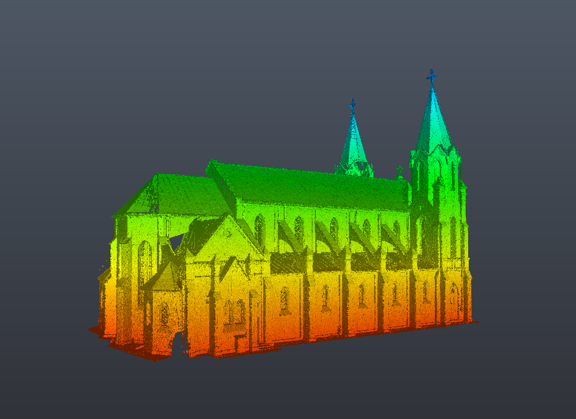
High-quality laser scanning is only the first step in creating reliable digital documentation for historic churches and temples. Before scan data can be used for restoration, BIM modeling, CAD documentation, or structural analysis, it must be accurately processed, registered, and verified. Proper point cloud processing transforms raw scan data into an organized digital representation of the building, ready for engineering and conservation projects.
At ScanM2, we provide Point Cloud Processing Services for Churches and Temples, delivering clean, accurately registered, and optimized point cloud datasets for architects, engineers, restoration specialists, and heritage conservation professionals. Our workflows ensure that every project is based on reliable geometric information suitable for further design and documentation.
Contact Us Now for a Free Consultation!
Why Point Cloud Processing Is Essential
Laser scanners capture millions or even billions of individual measurement points from multiple scan positions. These datasets must be combined into one accurate coordinate system before they become useful for engineering work.
Professional point cloud processing for churches and temples ensures that scan data accurately represents every architectural element while eliminating unnecessary information that could reduce efficiency during modeling or documentation.
Processed point clouds become the foundation for Scan to BIM for Churches and Temples, BIM Modeling Services for Churches and Temples, and As-Built Drawings Services for Churches and Temples.
Challenges of Processing Church Scan Data
Complex Architectural Geometry
Historic churches contain domes, vaulted ceilings, apses, bell towers, columns, arches, and decorative façades that require precise registration from multiple scan positions.
Large Data Volumes
Comprehensive laser surveys often generate billions of points, requiring efficient processing while preserving maximum geometric accuracy.
Decorative Architectural Elements
Stone carvings, altars, sculptures, stained-glass windows, and ornamental interiors require careful processing to maintain detail without introducing unnecessary noise.
Heritage Documentation Standards
Restoration and conservation projects require highly accurate datasets that preserve existing building conditions for future engineering work.
Our Point Cloud Processing Workflow
Every project follows a structured workflow developed by ScanM2 to ensure consistent quality.
Scan Registration
Data collected during 3D Laser Scanning for Churches and Temples is registered into a single coordinate system with high positional accuracy.
Noise Removal
Temporary objects, visitors, equipment, vegetation, reflections, and other unwanted data are removed while preserving architectural features.
Point Cloud Optimization
The dataset is optimized to reduce file size while maintaining the level of detail required for engineering applications.
Quality Verification
The completed point cloud undergoes comprehensive quality control to verify registration accuracy and data completeness before delivery.
Historic Church Point Cloud Processing Project
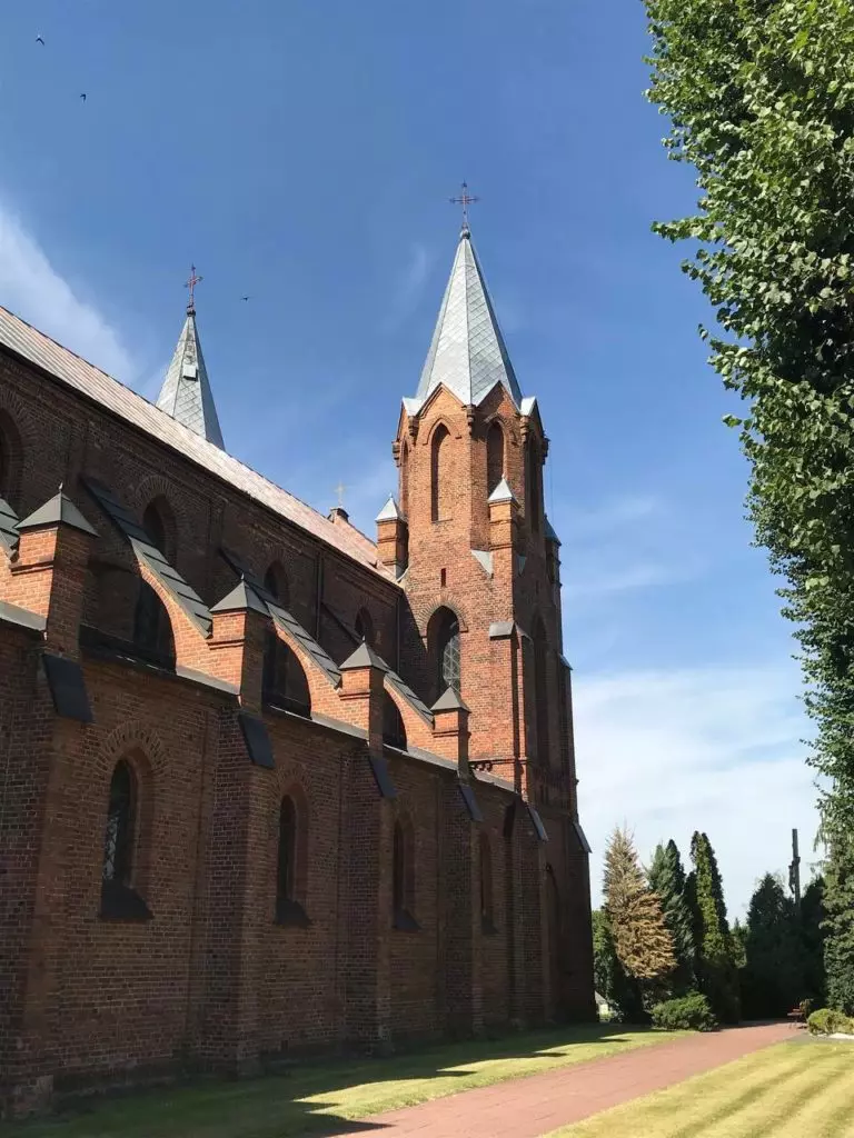
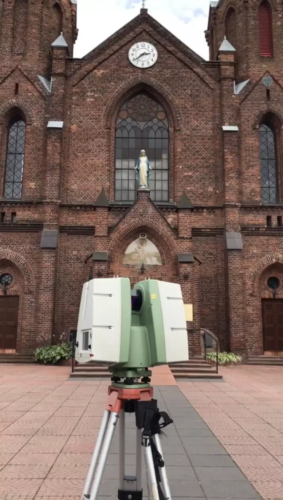
A historic church required detailed digital documentation before restoration work could begin. Multiple laser scans were collected throughout the interior, exterior, bell tower, and surrounding site.
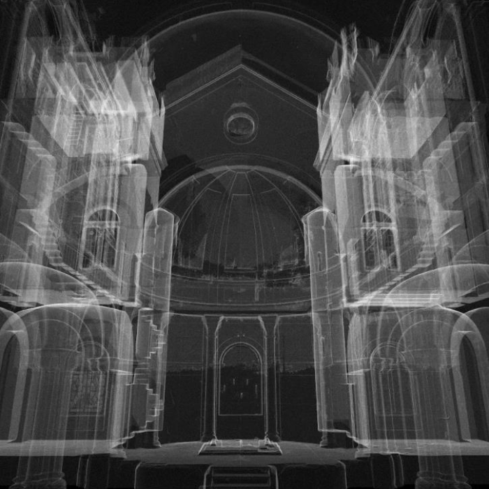
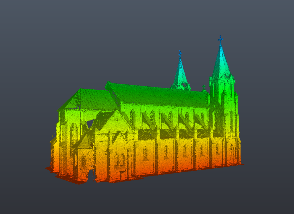
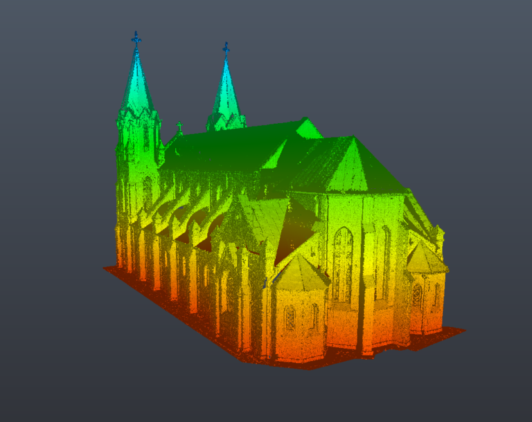
After registration and processing, ScanM2 produced a unified, high-accuracy point cloud that accurately represented the existing condition of the entire building. The processed dataset was subsequently used to develop architectural documentation, BIM models, and restoration plans.
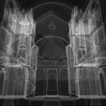
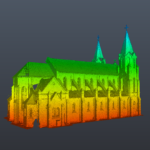
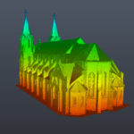
Examples of Processed Point Clouds for Churches and Temples
Point Clouds for Churches Example
What Is Included in Point Cloud Processing
| Deliverable | Purpose |
|---|---|
| Registered Point Cloud | Unified scan dataset |
| Noise Removal | Cleaner engineering data |
| Scan Alignment | Accurate coordinate system |
| Optimized Point Cloud | Efficient project workflow |
| Colorized Point Cloud | Improved visualization |
| Segmented Data | Easier navigation and modeling |
| Quality Verification Report | Accuracy confirmation |
| Export Files (RCP, E57, LAS, XYZ) | Compatibility with CAD and BIM software |
Applications of Processed Point Clouds
Restoration Planning
Architects use processed scan data to accurately evaluate existing building conditions before restoration begins.
BIM Development
Optimized point clouds provide reliable input for Scan to BIM for Churches and Temples and BIM Modeling Services for Churches and Temples.
CAD Documentation
Processed scan data enables the preparation of accurate As-Built Drawings Services for Churches and Temples.
Structural Engineering
Engineers analyze structural geometry using highly accurate point cloud datasets.
Heritage Conservation
Conservation specialists document historic architectural elements while preserving precise digital records for future projects.
Benefits of Point Cloud Processing
Working with ScanM2 provides:
- highly accurate registered point clouds
- reduced noise and unwanted scan data
- optimized datasets for faster workflows
- millimeter-level geometric accuracy
- compatibility with major BIM and CAD platforms
- improved project coordination
- reliable documentation for restoration and conservation
- flexible export formats for engineering teams

