

3D Laser Scanning for Condensation Electric Power Plant
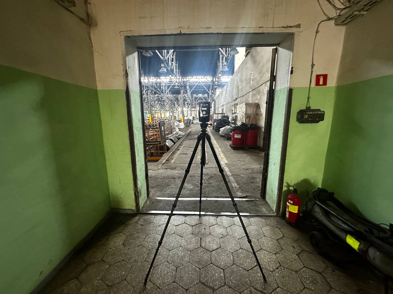
Condensing power plants depend on extensive steam generation, turbine, condensation, cooling, and auxiliary systems. These installations operate within large industrial buildings where equipment, pipelines, structural supports, and access platforms are closely interconnected. When existing units are modernized, accurate information about their current geometry becomes essential.
ScanM2 provides 3D laser scanning services for condensing power plants, capturing the existing geometry of turbine halls, boiler units, condenser installations, steam pipelines, and supporting infrastructure. Our measured point clouds help engineering teams plan equipment replacement, reconstruct technical spaces, and prepare reliable as-built documentation.
Contact Us Now for a Free Consultation!
Why Existing Geometry Matters in Condensing Power Plant Reconstruction
A condensing power plant is designed primarily to generate electricity through a steam turbine cycle. Steam produced in the boiler expands through a turbine, drives a generator, and is then condensed before the water returns to the steam generation system.
Major equipment is connected by steam lines, condensate piping, feedwater systems, cooling circuits, and supporting installations. Changing one component can affect the layout of several others.
Historical engineering drawings may not reflect decades of repairs, equipment replacements, or pipeline modifications. Laser scanning establishes a current geometric reference for the areas affected by planned work.
Critical Survey Areas in a Condensing Power Plant
Survey requirements depend on the generating unit, the planned intervention, and the available access. Particular attention is often given to the following systems.
Steam Turbines and Generator Installations
Turbine-generator units occupy precisely organized spaces containing heavy machinery, foundations, service platforms, overhead lifting equipment, and extensive piping connections.
Scanning provides measured references for equipment envelopes, accessible foundation geometry, nearby structural elements, and the clearances relevant to modernization or replacement.
Condensers and Condensate Systems
Condenser installations are a distinguishing feature of the steam cycle in condensing power plants. They may be located beneath or adjacent to turbine equipment and connected to cooling-water and condensate systems.
Laser scanning can document accessible condenser housings, pipe connections, support structures, surrounding technical spaces, and maintenance access arrangements.
Boiler Units and High-Pressure Steam Piping
Boiler buildings contain large equipment assemblies, structural framing, pipework, platforms, and auxiliary machinery. The geometry of these installations is particularly important when replacing boiler components or modifying steam routes.
Scanning captures visible surfaces and spatial relationships, providing a basis for evaluating proposed equipment positions and pipeline modifications.
Feedwater and Auxiliary Equipment
Feedwater pumps, heaters, valves, tanks, and associated piping occupy technical areas where new equipment must often be integrated into existing layouts.
Measured geometry supports equipment coordination and the preparation of technical drawings for reconstruction projects.
Five Engineering Questions a 3D Survey Can Help Answer
Before beginning modernization, engineers frequently need to resolve practical questions about the physical configuration of the generating unit.
- Will replacement equipment fit? The point cloud provides measured surrounding geometry for evaluating installation envelopes.
- Where are existing piping connections located? Accessible connection areas and nearby pipe routes can be documented.
- Are structural modifications necessary? Existing beams, columns, platforms, and openings can be examined geometrically.
- What access space is available? Engineers can assess visible clearance constraints around equipment and technical passages.
- Do the current drawings match the facility? Survey measurements can be compared with available technical documentation.
Capturing Complex Geometry Around Turbine Foundations
Turbine foundations form critical interfaces between generating equipment and the powerhouse structure. Their accessible geometry, surrounding floor levels, openings, and nearby installations may affect replacement planning.
Laser scanning can capture these visible features and establish their spatial relationships within the surveyed area.
However, surface measurements do not reveal concealed reinforcement, embedded components, foundation condition, or structural capacity. Those characteristics require separate engineering investigations.
Surveying Condenser Areas with Restricted Access
Condenser installations may be surrounded by piping, supports, equipment foundations, and limited-access maintenance spaces. These conditions can make conventional measurement difficult.
Multiple scanner positions allow accessible surfaces to be captured from different directions. The scans can then be combined to form a coordinated geometric dataset.
Areas concealed by equipment or inaccessible under operating conditions remain outside the measured coverage unless suitable supplementary data is obtained.
Connecting Measurements Across Large Powerhouse Buildings
Condensing power plant surveys may extend across several floors, turbine and boiler buildings, pipe galleries, and auxiliary technical areas.
To maintain consistent spatial relationships, individual scans are registered within an agreed coordinate framework. Where available, survey control can help relate measurements across different buildings or generating unit areas.
Registration quality is checked before the dataset is used for dimensional analysis, modeling, or documentation.
Survey Planning Around Plant Operations
Power generation facilities impose strict access and safety requirements. Hot surfaces, pressurized systems, moving machinery, elevated platforms, and restricted electrical areas can affect survey planning.
Scanning activities must be coordinated with the plant operator. Some areas may be accessible during normal operation, while others may require an outage or specific access arrangements.
The measurement scope, equipment suitability, and work procedures are established according to actual site conditions.
How Survey Data Supports Equipment Replacement
Replacing a turbine component, condenser installation, or auxiliary pump often involves more than comparing equipment dimensions. Engineers must also consider adjacent pipelines, foundations, maintenance platforms, and access openings.
A registered point cloud provides a geometric reference against which proposed equipment layouts can be reviewed.
For detailed coordination, the measured geometry can be converted into a structured digital model through Scan to BIM Services for Condensing Power Plants.
Choosing the Right Survey Scope
A complete scan of an entire power station is not always necessary. The most efficient approach is to identify the equipment and interfaces relevant to the engineering task.
For a condenser replacement, the scope may focus on the condenser area, adjacent structures, pipe connections, and access routes. For turbine hall reconstruction, it may include multiple floor levels, major equipment, foundations, and overhead structures.
Defining the necessary coverage early helps avoid missing critical interfaces while limiting unnecessary survey work.
Our 3D Laser Scanning Process
Each project follows a survey plan adapted to the generating unit and the intended engineering outputs.
- Scope development: identify survey areas, technical objectives, and accuracy requirements.
- Access coordination: review site restrictions, safety procedures, and operational conditions.
- Measurement: capture accessible equipment, structures, and piping from appropriate scanner positions.
- Registration: align individual scans into a consistent coordinate system.
- Verification: check scan alignment, coverage, and relevant measurement quality.
- Delivery: prepare the agreed point cloud files and any additional contracted documentation.
From Measured Point Clouds to Engineering Deliverables
The primary output of a laser scanning survey is a registered point cloud representing the accessible existing geometry.
Depending on project requirements, additional deliverables may include organized point cloud files, measured sections, equipment layouts, and CAD drawings.
For projects requiring a coordinated digital representation of structures and engineering installations, the point cloud can support BIM Modeling Services for Condensing Power Plants.
Measurement Accuracy and Data Limitations
Survey accuracy depends on scanner capabilities, measurement distances, registration quality, site conditions, and the geometry being captured.
Reflective surfaces, restricted visibility, vibration, and environmental conditions can affect the quality of certain measurements. Project-specific accuracy requirements should be established before the survey.
Laser scanning documents accessible visible surfaces. Internal machinery geometry, concealed piping, and material properties cannot be determined reliably from external point cloud measurements alone.
Accurate Existing-Condition Data for Condensing Power Plant Upgrades
Condensing power plant modernization requires a clear understanding of existing generating equipment, condenser systems, steam pipelines, and structural interfaces. Laser scanning provides the measured geometry needed to reduce uncertainty during planning and engineering coordination.
ScanM2 delivers project-specific 3D survey data for industrial energy facilities, supporting equipment replacement, reconstruction, as-built documentation, and digital modeling.

